Area Overview for E11 2DU
Photos of E11 2DU
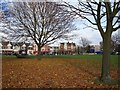
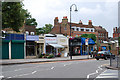

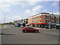
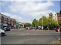
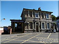
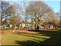
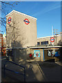
100 photos from this area
Area Information
Key information about the E11 2DU including its size, population, and administrative classification.
- Area Type
- Postcode
- Area Size
- 7538 m²
- Population
- 1549
- Population Density
- 4352 people/km²
House Prices in E11 2DU
28
Properties
£466,911
Average Sold Price
£74,500
Lowest Price
£915,000
Highest Price
Showing 28 properties
| Address | Type | Beds | Baths | Last Sale Price | Last Sale Date | |
|---|---|---|---|---|---|---|
| 27 Elmcroft Avenue, Wanstead, London, E11 2DU | Terraced | 4 | 1 | £915,000 | Oct 2025 | |
| 6 Elmcroft Avenue, Wanstead, London, E11 2DU | house | - | - | £785,000 | Aug 2025 | |
| 35 Elmcroft Avenue, Wanstead, London, E11 2DU | Terraced | 3 | 1 | £700,000 | Mar 2024 | |
| 14 Elmcroft Avenue, Wanstead, London, E11 2DU | Semi-detached | 5 | 2 | £650,000 | Apr 2021 | |
| 2 Elmcroft Avenue, Wanstead, London, E11 2DU | house | 5 | 1 | £737,500 | Feb 2021 | |
| 25 Elmcroft Avenue, Wanstead, London, E11 2DU | Terraced | 3 | 2 | £810,000 | Nov 2019 | |
| 8 Elmcroft Avenue, Wanstead, London, E11 2DU | house | - | - | £560,000 | Sep 2017 | |
| 4A Elmcroft Avenue, Wanstead, London, E11 2DU | Flat | 2 | 1 | £450,000 | Mar 2017 | |
| 18A Elmcroft Avenue, Wanstead, London, E11 2DU | Detached | 2 | - | £607,000 | Dec 2016 | |
| 31 Elmcroft Avenue, Wanstead, London, E11 2DU | Terraced | - | - | £450,000 | Aug 2016 |
Page 1 of 3
Energy Efficiency in E11 2DU
Amenities
Schools
| Rank | School | Type | Entry gender | Ages |
|---|
Explore more schools in this area
Go to Schools tabDemographics
Household Size
Family (3-5 people)
most common
Accommodation Type
Houses
most common
Tenure
76
majority
Ethnic Group
White
most common
Religion
N/A
most common
Household Composition
N/A
most common
Age
47
median
Adults (30-64 years)
most common
Household Deprivation
N/A
with no deprivation
NS-SEC
53
in Lower managerial occupations
Explore more demographic insights in this area
Go to Demographics tabPlanning
Planning Constraints
- Flood RiskPremium
- Ramsar Wetland SitesPremium
- Area of Outstanding Natural BeautyPremium
- Protected Nature ReservePremium
- Protected WoodlandPremium