Area Overview for E11 1JS
Photos of E11 1JS
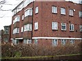
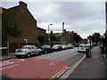
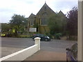
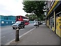
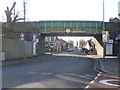
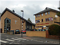
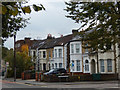

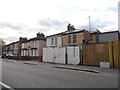
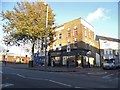
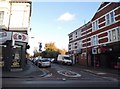
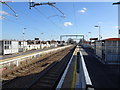
92 photos from this area
Area Information
Key information about the E11 1JS including its size, population, and administrative classification.
- Area Type
- Postcode
- Area Size
- 1.3 hectares
- Population
- 1608
- Population Density
- 1989 people/km²
House Prices in E11 1JS
52
Properties
£338,905
Average Sold Price
£52,000
Lowest Price
£692,500
Highest Price
Showing 52 properties
| Address | Type | Beds | Baths | Last Sale Price | Last Sale Date | |
|---|---|---|---|---|---|---|
| 205 Forest Road, Leytonstone, E11 1JS | Flat | 2 | - | £180,000 | Oct 2025 | |
| 99 Forest Road, Leytonstone, E11 1JS | Flat | 1 | 1 | £320,000 | Mar 2025 | |
| 185 Forest Road, Leytonstone, E11 1JS | Terraced | 2 | - | £610,000 | Sep 2021 | |
| 65 Forest Road, Leytonstone, E11 1JS | Terraced | 3 | - | £638,500 | Aug 2021 | |
| 61 Forest Road, Leytonstone, E11 1JS | house | - | - | £456,000 | Apr 2021 | |
| 187 Forest Road, Leytonstone, E11 1JS | house | - | - | £287,500 | Nov 2020 | |
| 191 Forest Road, Leytonstone, E11 1JS | Flat | 2 | 1 | £392,000 | Aug 2020 | |
| 155 Forest Road, Leytonstone, E11 1JS | house | 3 | - | £560,000 | Mar 2020 | |
| 89 Forest Road, Leytonstone, E11 1JS | Terraced | 5 | 2 | £692,500 | Jul 2019 | |
| 195 Forest Road, Leytonstone, E11 1JS | Flat | - | - | £310,000 | Apr 2019 |
Page 1 of 6
Energy Efficiency in E11 1JS
Amenities
Schools
| Rank | School | Type | Entry gender | Ages |
|---|
Explore more schools in this area
Go to Schools tabDemographics
Household Size
Family (3-5 people)
most common
Accommodation Type
Flats
most common
Tenure
56
majority
Ethnic Group
White
most common
Religion
N/A
most common
Household Composition
N/A
most common
Age
47
median
Adults (30-64 years)
most common
Household Deprivation
N/A
with no deprivation
NS-SEC
49
in Lower managerial occupations
Explore more demographic insights in this area
Go to Demographics tabPlanning
Planning Constraints
- Flood RiskPremium
- Ramsar Wetland SitesPremium
- Area of Outstanding Natural BeautyPremium
- Protected Nature ReservePremium
- Protected WoodlandPremium