Area Overview for E11 1AL
Photos of E11 1AL
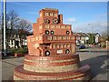
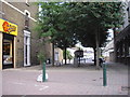
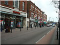
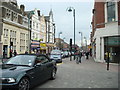
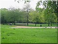
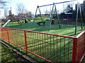
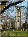
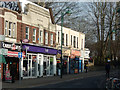
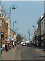
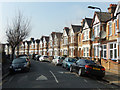
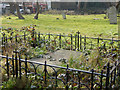
100 photos from this area
Area Information
Key information about the E11 1AL including its size, population, and administrative classification.
- Area Type
- Postcode
- Area Size
- 5836 m²
- Population
- 1544
- Population Density
- 10212 people/km²
House Prices in E11 1AL
38
Properties
£642,666
Average Sold Price
£162,000
Lowest Price
£1,050,000
Highest Price
Showing 38 properties
| Address | Type | Beds | Baths | Last Sale Price | Last Sale Date | |
|---|---|---|---|---|---|---|
| 96 Wallwood Road, Leytonstone, E11 1AL | house | - | - | £1,050,000 | Jan 2025 | |
| 92 Wallwood Road, Leytonstone, E11 1AL | Terraced | 5 | 1 | £1,050,000 | Dec 2022 | |
| 72 Wallwood Road, Leytonstone, E11 1AL | house | - | - | £780,000 | Nov 2022 | |
| 106 Wallwood Road, Leytonstone, E11 1AL | Terraced | 4 | 2 | £840,000 | Jun 2018 | |
| 104 Wallwood Road, Leytonstone, E11 1AL | house | 5 | - | £666,000 | Jul 2017 | |
| 102 Wallwood Road, Leytonstone, E11 1AL | Terraced | 5 | - | £575,000 | Aug 2013 | |
| 74 Wallwood Road, Leytonstone, E11 1AL | Unknown | - | - | £214,995 | Nov 2007 | |
| 82 Wallwood Road, Leytonstone, E11 1AL | house | - | - | £446,000 | Feb 2007 | |
| 78 Wallwood Road, Leytonstone, E11 1AL | Terraced | - | - | £162,000 | Sep 1999 | |
| 74B Wallwood Road, Leytonstone, E11 1AL | Flat | 2 | 1 | - | - |
Page 1 of 4
Energy Efficiency in E11 1AL
Amenities
Schools
| Rank | School | Type | Entry gender | Ages |
|---|
Explore more schools in this area
Go to Schools tabDemographics
Household Size
Two person
most common
Accommodation Type
Houses
most common
Tenure
56
majority
Ethnic Group
White
most common
Religion
N/A
most common
Household Composition
N/A
most common
Age
47
median
Adults (30-64 years)
most common
Household Deprivation
N/A
with no deprivation
NS-SEC
48
in Lower managerial occupations
Explore more demographic insights in this area
Go to Demographics tabPlanning
Planning Constraints
- Flood RiskPremium
- Ramsar Wetland SitesPremium
- Area of Outstanding Natural BeautyPremium
- Protected Nature ReservePremium
- Protected WoodlandPremium