Area Overview for E10 7ES
Photos of E10 7ES
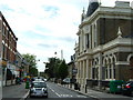
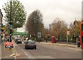
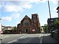
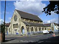
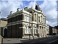
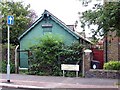
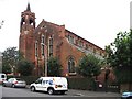
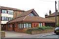
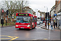
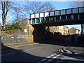
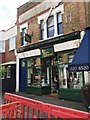
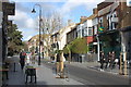
99 photos from this area
Area Information
Key information about the E10 7ES including its size, population, and administrative classification.
- Area Type
- Postcode
- Area Size
- 6891 m²
- Population
- Not available
- Population Density
- Not available
House Prices in E10 7ES
61
Properties
£235,611
Average Sold Price
£60,000
Lowest Price
£605,000
Highest Price
Showing 61 properties
| Address | Type | Beds | Baths | Last Sale Price | Last Sale Date | |
|---|---|---|---|---|---|---|
| 10 Russell Road, Leyton, E10 7ES | Flat | - | - | £300,000 | Dec 2019 | |
| 24 Russell Road, Leyton, E10 7ES | Terraced | 4 | 1 | £605,000 | Jun 2019 | |
| 22 Russell Road, Leyton, E10 7ES | house | - | - | £144,000 | Nov 2010 | |
| 14 Russell Road, Leyton, E10 7ES | house | - | - | £162,500 | Jan 2009 | |
| 10A Russell Road, Leyton, E10 7ES | Flat | 3 | 2 | £101,000 | Oct 2008 | |
| 20A Russell Road, Leyton, E10 7ES | Flat | - | - | £198,000 | Oct 2007 | |
| 8 Russell Road, Leyton, E10 7ES | Terraced | 3 | - | £300,000 | Sep 2007 | |
| 18 Russell Road, Leyton, E10 7ES | Terraced | 5 | 2 | £250,000 | Oct 2003 | |
| 28 Russell Road, Leyton, E10 7ES | house | 5 | - | £60,000 | Oct 2000 | |
| Ground Floor Middle Flat, 12 Russell Road, Leyton, E10 7ES | Flat | 1 | 1 | - | - |
Page 1 of 7
Energy Efficiency in E10 7ES
Amenities
Schools
| Rank | School | Type | Entry gender | Ages |
|---|
Explore more schools in this area
Go to Schools tabDemographics
Household Size
Family (3-5 people)
most common
Accommodation Type
Houses
most common
Tenure
40
majority
Ethnic Group
White
most common
Religion
N/A
most common
Household Composition
N/A
most common
Age
47
median
Adults (30-64 years)
most common
Household Deprivation
N/A
with no deprivation
NS-SEC
22
in Lower managerial occupations
Explore more demographic insights in this area
Go to Demographics tabPlanning
Planning Constraints
- Flood RiskPremium
- Ramsar Wetland SitesPremium
- Area of Outstanding Natural BeautyPremium
- Protected Nature ReservePremium
- Protected WoodlandPremium