Area Overview for E10 6HY
Photos of E10 6HY
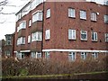
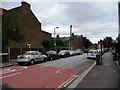
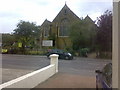
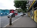
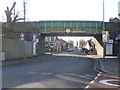
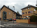
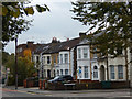

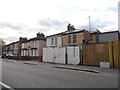
92 photos from this area
Area Information
Key information about the E10 6HY including its size, population, and administrative classification.
- Area Type
- Postcode
- Area Size
- 5619 m²
- Population
- 1607
- Population Density
- 12825 people/km²
House Prices in E10 6HY
32
Properties
£256,813
Average Sold Price
£57,500
Lowest Price
£684,000
Highest Price
Showing 32 properties
| Address | Type | Beds | Baths | Last Sale Price | Last Sale Date | |
|---|---|---|---|---|---|---|
| 16 Boscombe Avenue, Leyton, E10 6HY | Flat | 2 | 1 | £245,000 | Jan 2025 | |
| 24 Boscombe Avenue, Leyton, E10 6HY | Flat | - | - | £296,000 | Mar 2024 | |
| 11 Boscombe Avenue, Leyton, E10 6HY | Terraced | 4 | - | £684,000 | Jan 2018 | |
| 4A Boscombe Avenue, Leyton, E10 6HY | Flat | - | - | £57,500 | Nov 2015 | |
| 2 Boscombe Avenue, Leyton, E10 6HY | house | - | - | £260,000 | Jun 2009 | |
| 6 Boscombe Avenue, Leyton, E10 6HY | Terraced | - | - | £232,000 | Feb 2005 | |
| 1 Boscombe Avenue, Leyton, E10 6HY | Flat | 1 | 1 | £220,000 | Jun 2001 | |
| 12 Boscombe Avenue, Leyton, E10 6HY | Terraced | - | - | £60,000 | Dec 1995 | |
| 26 Boscombe Avenue, Leyton, E10 6HY | Flat | - | - | - | - | |
| 20 Boscombe Avenue, Leyton, E10 6HY | Flat | - | - | - | - |
Page 1 of 4
Energy Efficiency in E10 6HY
Amenities
Schools
| Rank | School | Type | Entry gender | Ages |
|---|
Explore more schools in this area
Go to Schools tabDemographics
Household Size
Family (3-5 people)
most common
Accommodation Type
Houses
most common
Tenure
55
majority
Ethnic Group
White
most common
Religion
N/A
most common
Household Composition
N/A
most common
Age
47
median
Adults (30-64 years)
most common
Household Deprivation
N/A
with no deprivation
NS-SEC
30
in Lower managerial occupations
Explore more demographic insights in this area
Go to Demographics tabPlanning
Planning Constraints
- Flood RiskPremium
- Ramsar Wetland SitesPremium
- Area of Outstanding Natural BeautyPremium
- Protected Nature ReservePremium
- Protected WoodlandPremium