Area Overview for E10 6HL
Photos of E10 6HL

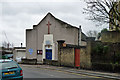
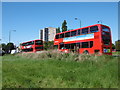
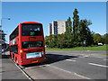
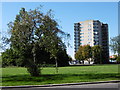
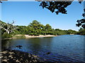
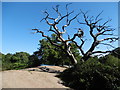
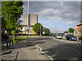
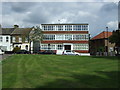
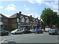
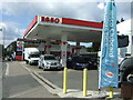
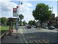
54 photos from this area
Area Information
Key information about the E10 6HL including its size, population, and administrative classification.
- Area Type
- Postcode
- Area Size
- 9012 m²
- Population
- 1936
- Population Density
- 6552 people/km²
House Prices in E10 6HL
52
Properties
£460,593
Average Sold Price
£59,995
Lowest Price
£750,000
Highest Price
Showing 52 properties
| Address | Type | Beds | Baths | Last Sale Price | Last Sale Date | |
|---|---|---|---|---|---|---|
| 100 James Lane, Leyton, E10 6HL | Terraced | 5 | 2 | £738,500 | May 2025 | |
| 84 James Lane, Leyton, E10 6HL | Flat | 2 | 2 | £437,000 | Feb 2025 | |
| 58 James Lane, Leyton, E10 6HL | Terraced | 4 | 2 | £720,000 | Nov 2024 | |
| 68 James Lane, Leyton, E10 6HL | Flat | 2 | 1 | £340,000 | Dec 2022 | |
| 84A James Lane, Leyton, E10 6HL | Flat | 3 | 1 | £381,000 | Dec 2021 | |
| 82 James Lane, Leyton, E10 6HL | house | - | - | £722,500 | Nov 2021 | |
| 80 James Lane, Leyton, E10 6HL | Terraced | 5 | 1 | £495,000 | Jan 2019 | |
| 52 James Lane, Leyton, E10 6HL | Terraced | 5 | 3 | £750,000 | Aug 2018 | |
| 120 James Lane, Leyton, E10 6HL | house | - | - | £520,000 | Oct 2017 | |
| 88 James Lane, Leyton, E10 6HL | Terraced | 4 | 2 | £600,000 | Mar 2016 |
Page 1 of 6
Energy Efficiency in E10 6HL
Amenities
Schools
| Rank | School | Type | Entry gender | Ages |
|---|
Explore more schools in this area
Go to Schools tabDemographics
Household Size
Family (3-5 people)
most common
Accommodation Type
Houses
most common
Tenure
67
majority
Ethnic Group
White
most common
Religion
N/A
most common
Household Composition
N/A
most common
Age
47
median
Adults (30-64 years)
most common
Household Deprivation
N/A
with no deprivation
NS-SEC
38
in Lower managerial occupations
Explore more demographic insights in this area
Go to Demographics tabPlanning
Planning Constraints
- Flood RiskPremium
- Ramsar Wetland SitesPremium
- Area of Outstanding Natural BeautyPremium
- Protected Nature ReservePremium
- Protected WoodlandPremium