Area Overview for E10 5NS
Photos of E10 5NS
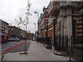
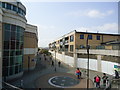
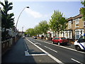
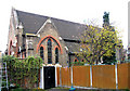
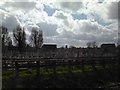
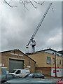
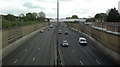
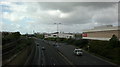
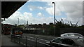
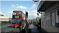
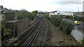
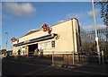
100 photos from this area
Area Information
Key information about the E10 5NS including its size, population, and administrative classification.
- Area Type
- Postcode
- Area Size
- 9032 m²
- Population
- 2677
- Population Density
- 5185 people/km²
House Prices in E10 5NS
40
Properties
£378,657
Average Sold Price
£59,995
Lowest Price
£775,000
Highest Price
Showing 40 properties
| Address | Type | Beds | Baths | Last Sale Price | Last Sale Date | |
|---|---|---|---|---|---|---|
| 25 Ruckholt Road, Leyton, E10 5NS | Terraced | 3 | 1 | £655,000 | Dec 2025 | |
| 93 Ruckholt Road, Leyton, E10 5NS | Terraced | 5 | 2 | £775,000 | Apr 2023 | |
| 17 Ruckholt Road, Leyton, E10 5NS | house | - | - | £625,000 | Oct 2021 | |
| 37 Ruckholt Road, Leyton, E10 5NS | Terraced | 3 | 2 | £590,000 | Jun 2019 | |
| 15 Ruckholt Road, Leyton, E10 5NS | house | - | - | £550,000 | Dec 2015 | |
| 69 Ruckholt Road, Leyton, E10 5NS | Terraced | 3 | 1 | £492,995 | Oct 2015 | |
| 83 Ruckholt Road, Leyton, E10 5NS | Terraced | 3 | 1 | £425,000 | Jul 2015 | |
| 23 Ruckholt Road, Leyton, E10 5NS | house | - | - | £475,000 | Apr 2015 | |
| 85 Ruckholt Road, Leyton, E10 5NS | Terraced | 4 | 2 | £317,000 | Jan 2015 | |
| 33 Ruckholt Road, Leyton, E10 5NS | Terraced | 2 | 2 | £480,000 | Jun 2014 |
Page 1 of 4
Energy Efficiency in E10 5NS
Amenities
Schools
| Rank | School | Type | Entry gender | Ages |
|---|
Explore more schools in this area
Go to Schools tabDemographics
Household Size
Family (3-5 people)
most common
Accommodation Type
Flats
most common
Tenure
44
majority
Ethnic Group
White
most common
Religion
N/A
most common
Household Composition
N/A
most common
Age
47
median
Adults (30-64 years)
most common
Household Deprivation
N/A
with no deprivation
NS-SEC
38
in Lower managerial occupations
Explore more demographic insights in this area
Go to Demographics tabPlanning
Planning Constraints
- Flood RiskPremium
- Ramsar Wetland SitesPremium
- Area of Outstanding Natural BeautyPremium
- Protected Nature ReservePremium
- Protected WoodlandPremium