Area Overview for E10 5NE
Photos of E10 5NE
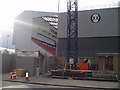
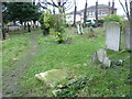
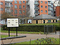
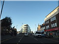
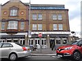
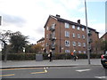
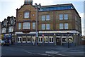
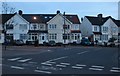
96 photos from this area
Area Information
Key information about the E10 5NE including its size, population, and administrative classification.
- Area Type
- Postcode
- Area Size
- 2914 m²
- Population
- 2677
- Population Density
- 5185 people/km²
House Prices in E10 5NE
12
Properties
£438,667
Average Sold Price
£116,000
Lowest Price
£825,000
Highest Price
Showing 12 properties
| Address | Type | Beds | Baths | Last Sale Price | Last Sale Date | |
|---|---|---|---|---|---|---|
| 3 Brisbane Road, Leyton, E10 5NE | Detached | 4 | 2 | £790,000 | Sep 2024 | |
| 7 Brisbane Road, Leyton, E10 5NE | Retail | 3 | 1 | £825,000 | Jul 2022 | |
| 1 Brisbane Road, Leyton, E10 5NE | Flat | 2 | 2 | £351,000 | Aug 2019 | |
| 9 Brisbane Road, Leyton, E10 5NE | Flat | - | - | £285,000 | Jul 2017 | |
| 9A Brisbane Road, Leyton, E10 5NE | Flat | - | - | £265,000 | Mar 2017 | |
| 9C Brisbane Road, Leyton, E10 5NE | Flat | 2 | 2 | £116,000 | Feb 2016 | |
| 9B Brisbane Road, Leyton, E10 5NE | Flat | 1 | 1 | - | - | |
| Ground Floor Flat 1, 5 Brisbane Road, Leyton, E10 5NE | Flat | 3 | 2 | - | - | |
| 1A Brisbane Road, Leyton, E10 5NE | Flat | - | - | - | - | |
| Leyton Orient Supporters Club, Leyton Orient Football Club, Brisbane Road, Leyton, E10 5NE | Leisure | - | - | - | - |
Page 1 of 2
Energy Efficiency in E10 5NE
Amenities
Schools
| Rank | School | Type | Entry gender | Ages |
|---|
Explore more schools in this area
Go to Schools tabDemographics
Household Size
Family (3-5 people)
most common
Accommodation Type
Flats
most common
Tenure
44
majority
Ethnic Group
White
most common
Religion
N/A
most common
Household Composition
N/A
most common
Age
47
median
Adults (30-64 years)
most common
Household Deprivation
N/A
with no deprivation
NS-SEC
38
in Lower managerial occupations
Explore more demographic insights in this area
Go to Demographics tabPlanning
Planning Constraints
- Flood RiskPremium
- Ramsar Wetland SitesPremium
- Area of Outstanding Natural BeautyPremium
- Protected Nature ReservePremium
- Protected WoodlandPremium