Area Overview for E10 5LT
Photos of E10 5LT

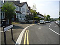
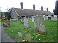
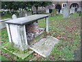
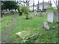
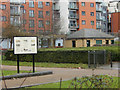
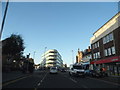
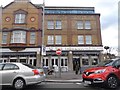
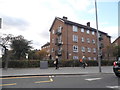
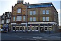
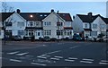
96 photos from this area
Area Information
Key information about the E10 5LT including its size, population, and administrative classification.
- Area Type
- Postcode
- Area Size
- 8926 m²
- Population
- 2147
- Population Density
- 13776 people/km²
House Prices in E10 5LT
48
Properties
£336,961
Average Sold Price
£86,995
Lowest Price
£657,000
Highest Price
Showing 48 properties
| Address | Type | Beds | Baths | Last Sale Price | Last Sale Date | |
|---|---|---|---|---|---|---|
| 45 Wilmot Road, Leyton, E10 5LT | Terraced | 2 | 1 | £575,000 | Oct 2023 | |
| 49 Wilmot Road, Leyton, E10 5LT | Terraced | 3 | 1 | £495,000 | Oct 2023 | |
| 69 Wilmot Road, Leyton, E10 5LT | Terraced | 4 | 2 | £536,200 | Aug 2023 | |
| 59 Wilmot Road, Leyton, E10 5LT | house | 3 | 3 | £657,000 | Jul 2022 | |
| 35 Wilmot Road, Leyton, E10 5LT | Terraced | 2 | 1 | £550,000 | Jul 2022 | |
| 37A Wilmot Road, Leyton, E10 5LT | Terraced | 4 | 1 | £475,000 | Apr 2022 | |
| 61 Wilmot Road, Leyton, E10 5LT | house | - | - | £482,000 | Feb 2022 | |
| 37 Wilmot Road, Leyton, E10 5LT | house | - | - | £532,000 | Feb 2021 | |
| 33 Wilmot Road, Leyton, E10 5LT | house | - | - | £421,000 | Jan 2021 | |
| 43 Wilmot Road, Leyton, E10 5LT | house | 2 | - | £228,000 | Dec 2010 |
Page 1 of 5
Energy Efficiency in E10 5LT
Amenities
Schools
| Rank | School | Type | Entry gender | Ages |
|---|
Explore more schools in this area
Go to Schools tabDemographics
Household Size
Family (3-5 people)
most common
Accommodation Type
Flats
most common
Tenure
34
majority
Ethnic Group
White
most common
Religion
N/A
most common
Household Composition
N/A
most common
Age
47
median
Adults (30-64 years)
most common
Household Deprivation
N/A
with no deprivation
NS-SEC
28
in Lower managerial occupations
Explore more demographic insights in this area
Go to Demographics tabPlanning
Planning Constraints
- Flood RiskPremium
- Ramsar Wetland SitesPremium
- Area of Outstanding Natural BeautyPremium
- Protected Nature ReservePremium
- Protected WoodlandPremium