Area Overview for E1 7LW
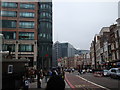
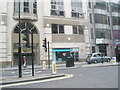
Photos of E1 7LW

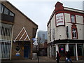
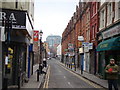
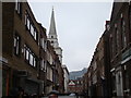
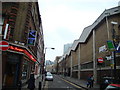
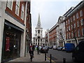
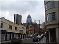
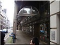
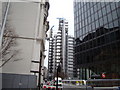

Area Information
E1 7LW is a compact residential postcode in east London, home to 1,619 people spread across a densely populated area with 984 residents per square kilometre. This small cluster sits near key transport hubs, including Liverpool Street Station and London City Airport, making it a convenient base for commuters and those reliant on public transport. The area’s character is shaped by its proximity to the City of London, blending residential living with urban infrastructure. Daily life here is defined by easy access to retail, education, and transport networks. With a median age of 47 and a population skewed toward adults aged 30–64, the community is likely to be established, with many residents working in nearby financial or professional sectors. The high population density means limited space for expansion, but the area’s compact nature ensures amenities are within walking or short transit distance. For buyers, this postcode offers a mix of practicality and connectivity, though the small size means properties are closely grouped, requiring careful consideration of location within the cluster.
- Area Type
- Postcode
- Area Size
- Not available
- Population
- 1619
- Population Density
- 984 people/km²
The property market in E1 7LW is characterised by a high proportion of rental properties, with only 25% of households owning their homes. This suggests a strong demand for short-term or long-term rental accommodation, likely driven by the area’s proximity to employment hubs in the City of London. The predominant accommodation type is flats, reflecting the small size of the postcode and the need for space-efficient housing. For buyers, this means the market is limited to a small number of properties, many of which may be part of larger residential blocks or purpose-built flats. The high population density further reduces the availability of standalone homes, making E1 7LW more suitable for those prioritising location over property size. Potential buyers should consider the competitive nature of the market and the likelihood of limited choice, particularly for owner-occupied properties.
House Prices in E1 7LW
No properties found in this postcode.
Energy Efficiency in E1 7LW
Living in E1 7LW offers access to a variety of retail and transport amenities within close proximity. Major retailers such as Tesco Bishopsgate, Sainsburys London, and M&S Liverpool St Rail SF provide essential shopping options, while the area’s transport hubs—including Liverpool Street Station, Tower Gateway, and London City Airport—ensure easy access to the city and beyond. The presence of multiple bus stops, ferry piers, and metro stations creates a dynamic environment where daily errands and travel are efficiently managed. Though the area is small, its density means amenities are clustered, reducing the need for long commutes. The mix of retail, transport, and proximity to the City of London makes E1 7LW convenient for those prioritising connectivity and accessibility over expansive private spaces.
Amenities
Schools
Residents of E1 7LW have access to a range of educational institutions, including The Aldgate School, a primary school with an Ofsted rating of outstanding, and David Game College, an independent institution also rated outstanding. Nearby independent schools such as St Paul’s Cathedral School and City of London School cater to older students, offering alternative educational pathways. The presence of both state and independent options provides families with flexibility, though the mix leans heavily toward independent institutions. For those requiring vocational training, the Fashion Retail Academy is available. The high quality of some schools, particularly The Aldgate School and David Game College, could be a draw for families prioritising education, though the limited number of state schools may require consideration of commuting distances.
| Rank | School | Type | Entry gender | Ages |
|---|
Explore more schools in this area
Go to Schools tabDemographics
The population of E1 7LW is predominantly adults aged 30–64, with a median age of 47. This suggests a mature community, likely with long-term residents and fewer young families. Home ownership is low, with only 25% of households owning their homes, indicating a rental-dominated market. The accommodation type is largely flats, reflecting the area’s density and limited space for larger properties. The predominant ethnic group is White, though no specific data on diversity or deprivation levels is provided. The age profile and ownership statistics imply a population that may be more transient, with renters prioritising proximity to transport and employment over long-term investment. The high population density of 984 people per square kilometre further underscores the compact nature of the area, which could influence the pace of daily life and the availability of private outdoor space.
Household Size
Accommodation Type
Tenure
Ethnic Group
Religion
Household Composition
Age
Household Deprivation
NS-SEC
Explore more demographic insights in this area
Go to Demographics tabPlanning
Planning Constraints
- Flood RiskPremium
- Ramsar Wetland SitesPremium
- Area of Outstanding Natural BeautyPremium
- Protected Nature ReservePremium
- Protected WoodlandPremium