Area Overview for DA8 3AN
Photos of DA8 3AN

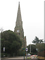
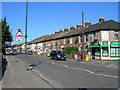
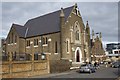
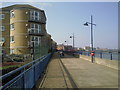
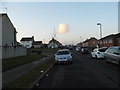
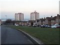

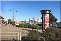
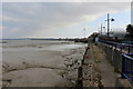
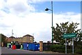
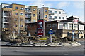
59 photos from this area
Area Information
Key information about the DA8 3AN including its size, population, and administrative classification.
- Area Type
- Postcode
- Area Size
- 1.6 hectares
- Population
- Not available
- Population Density
- Not available
House Prices in DA8 3AN
13
Properties
£378,428
Average Sold Price
£210,000
Lowest Price
£540,000
Highest Price
Showing 13 properties
| Address | Type | Beds | Baths | Last Sale Price | Last Sale Date | |
|---|---|---|---|---|---|---|
| 7 Victoria Road, Erith, DA8 3AN | house | - | - | £540,000 | Jun 2022 | |
| 5 Victoria Road, Erith, DA8 3AN | house | - | - | £396,500 | Mar 2021 | |
| 3 Victoria Road, Erith, DA8 3AN | Semi-detached | 3 | 2 | £400,000 | Aug 2018 | |
| 2A Victoria Road, Erith, DA8 3AN | house | - | - | £447,500 | Jun 2017 | |
| 2B Victoria Road, Erith, DA8 3AN | Bungalow | 3 | - | £415,000 | Mar 2016 | |
| 1 Victoria Road, Erith, DA8 3AN | Semi-detached | - | - | £210,000 | May 2004 | |
| 1C Victoria Road, Erith, DA8 3AN | Semi-detached | - | - | £239,995 | Apr 2004 | |
| 1A Victoria Road, Erith, DA8 3AN | Detached | 4 | - | - | - | |
| 2B Victoria Road, Erith, DA8 3AN | Detached | - | - | - | - | |
| Christ Church Vicarage, Victoria Road, Erith, DA8 3AN | house | - | - | - | - |
Page 1 of 2
Energy Efficiency in DA8 3AN
Amenities
Schools
| Rank | School | Type | Entry gender | Ages |
|---|
Explore more schools in this area
Go to Schools tabDemographics
Household Size
One person
most common
Accommodation Type
Flats
most common
Tenure
45
majority
Ethnic Group
White
most common
Religion
N/A
most common
Household Composition
N/A
most common
Age
47
median
Adults (30-64 years)
most common
Household Deprivation
N/A
with no deprivation
NS-SEC
28
in Lower managerial occupations
Explore more demographic insights in this area
Go to Demographics tabPlanning
Planning Constraints
- Flood RiskPremium
- Ramsar Wetland SitesPremium
- Area of Outstanding Natural BeautyPremium
- Protected Nature ReservePremium
- Protected WoodlandPremium