Area Overview for DA8 2HS
Photos of DA8 2HS
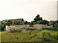
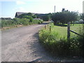
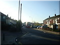
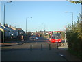

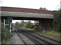
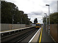
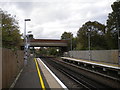


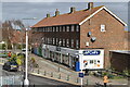
74 photos from this area
Area Information
Key information about the DA8 2HS including its size, population, and administrative classification.
- Area Type
- Postcode
- Area Size
- 1.7 hectares
- Population
- Not available
- Population Density
- Not available
House Prices in DA8 2HS
28
Properties
£280,692
Average Sold Price
£143,000
Lowest Price
£418,000
Highest Price
Showing 28 properties
| Address | Type | Beds | Baths | Last Sale Price | Last Sale Date | |
|---|---|---|---|---|---|---|
| 165 Bridge Road, Erith, DA8 2HS | Retail | 3 | 2 | £418,000 | Oct 2022 | |
| 191 Bridge Road, Erith, DA8 2HS | house | 3 | 1 | £395,000 | Aug 2022 | |
| 150 Bridge Road, Erith, DA8 2HS | Semi-detached | 3 | 1 | £345,000 | Jan 2021 | |
| 163 Bridge Road, Erith, DA8 2HS | Semi-detached | 3 | 1 | £353,000 | Jan 2020 | |
| 169 Bridge Road, Erith, DA8 2HS | Semi-detached | 3 | 2 | £312,000 | Aug 2019 | |
| 185 Bridge Road, Erith, DA8 2HS | Terraced | 3 | 1 | £317,000 | Oct 2018 | |
| 152 Bridge Road, Erith, DA8 2HS | Semi-detached | 3 | 1 | £310,000 | Mar 2018 | |
| 161 Bridge Road, Erith, DA8 2HS | house | - | - | £332,000 | Apr 2017 | |
| 153 Bridge Road, Erith, DA8 2HS | Maisonette | 2 | - | £143,000 | Oct 2013 | |
| 187 Bridge Road, Erith, DA8 2HS | house | - | - | £215,000 | Jul 2007 |
Page 1 of 3
Energy Efficiency in DA8 2HS
Amenities
Schools
| Rank | School | Type | Entry gender | Ages |
|---|
Explore more schools in this area
Go to Schools tabDemographics
Household Size
Family (3-5 people)
most common
Accommodation Type
Houses
most common
Tenure
55
majority
Ethnic Group
White
most common
Religion
N/A
most common
Household Composition
N/A
most common
Age
47
median
Adults (30-64 years)
most common
Household Deprivation
N/A
with no deprivation
NS-SEC
24
in Lower managerial occupations
Explore more demographic insights in this area
Go to Demographics tabPlanning
Planning Constraints
- Flood RiskPremium
- Ramsar Wetland SitesPremium
- Area of Outstanding Natural BeautyPremium
- Protected Nature ReservePremium
- Protected WoodlandPremium