Area Overview for DA7 6AG
Photos of DA7 6AG
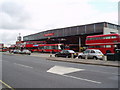
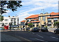
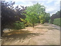
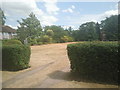
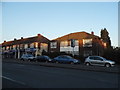

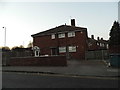
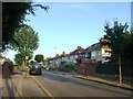
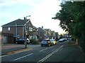
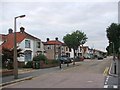
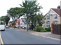
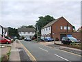
67 photos from this area
Area Information
Key information about the DA7 6AG including its size, population, and administrative classification.
- Area Type
- Postcode
- Area Size
- 8544 m²
- Population
- 1695
- Population Density
- 3523 people/km²
House Prices in DA7 6AG
28
Properties
£317,180
Average Sold Price
£56,000
Lowest Price
£650,000
Highest Price
Showing 28 properties
| Address | Type | Beds | Baths | Last Sale Price | Last Sale Date | |
|---|---|---|---|---|---|---|
| 62 Pinnacle Hill, Bexleyheath, DA7 6AG | Semi-detached | 3 | 2 | £465,000 | Jun 2024 | |
| 88D Pinnacle Hill, Bexleyheath, DA7 6AG | Maisonette | 2 | 1 | £340,000 | Mar 2023 | |
| 76 Pinnacle Hill, Bexleyheath, DA7 6AG | Semi-detached | 4 | 1 | £581,000 | Oct 2022 | |
| 60 Pinnacle Hill, Bexleyheath, DA7 6AG | Semi-detached | 4 | 2 | £625,000 | Jun 2022 | |
| 68 Pinnacle Hill, Bexleyheath, DA7 6AG | house | - | - | £490,000 | Sep 2021 | |
| 72 Pinnacle Hill, Bexleyheath, DA7 6AG | Semi-detached | 3 | - | £405,000 | Mar 2021 | |
| 52 Pinnacle Hill, Bexleyheath, DA7 6AG | house | - | - | £425,000 | Feb 2021 | |
| 50 Pinnacle Hill, Bexleyheath, DA7 6AG | house | - | - | £650,000 | Dec 2020 | |
| 88F Pinnacle Hill, Bexleyheath, DA7 6AG | Flat | 3 | - | £290,000 | Apr 2018 | |
| 66 Pinnacle Hill, Bexleyheath, DA7 6AG | Semi-detached | 3 | - | £370,000 | Apr 2018 |
Page 1 of 3
Energy Efficiency in DA7 6AG
Amenities
Schools
| Rank | School | Type | Entry gender | Ages |
|---|
Explore more schools in this area
Go to Schools tabDemographics
Household Size
Family (3-5 people)
most common
Accommodation Type
Houses
most common
Tenure
70
majority
Ethnic Group
White
most common
Religion
N/A
most common
Household Composition
N/A
most common
Age
47
median
Adults (30-64 years)
most common
Household Deprivation
N/A
with no deprivation
NS-SEC
36
in Lower managerial occupations
Explore more demographic insights in this area
Go to Demographics tabPlanning
Planning Constraints
- Flood RiskPremium
- Ramsar Wetland SitesPremium
- Area of Outstanding Natural BeautyPremium
- Protected Nature ReservePremium
- Protected WoodlandPremium