Area Overview for DA7 5EG
Photos of DA7 5EG
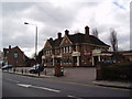
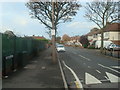
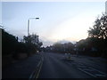
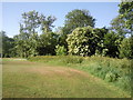
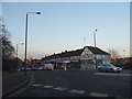
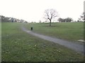
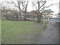
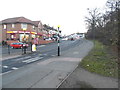
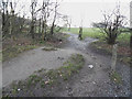
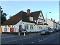
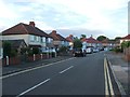
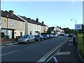
49 photos from this area
Area Information
Key information about the DA7 5EG including its size, population, and administrative classification.
- Area Type
- Postcode
- Area Size
- 1.7 hectares
- Population
- 1441
- Population Density
- 3426 people/km²
House Prices in DA7 5EG
31
Properties
£373,087
Average Sold Price
£75,000
Lowest Price
£795,000
Highest Price
Showing 31 properties
| Address | Type | Beds | Baths | Last Sale Price | Last Sale Date | |
|---|---|---|---|---|---|---|
| 59 Rydal Drive, Bexleyheath, DA7 5EG | Semi-detached | 4 | 2 | £630,000 | Mar 2025 | |
| 109 Rydal Drive, Bexleyheath, DA7 5EG | Bungalow | 2 | 1 | £530,000 | Nov 2022 | |
| 115 Rydal Drive, Bexleyheath, DA7 5EG | house | - | - | £530,000 | Jan 2022 | |
| 95 Rydal Drive, Bexleyheath, DA7 5EG | Semi-detached | 6 | 4 | £755,000 | Dec 2019 | |
| 99 Rydal Drive, Bexleyheath, DA7 5EG | Semi-detached | 3 | - | £410,000 | Oct 2019 | |
| 93 Rydal Drive, Bexleyheath, DA7 5EG | Semi-detached | 5 | 3 | £795,000 | Sep 2019 | |
| 101 Rydal Drive, Bexleyheath, DA7 5EG | Semi-detached | 5 | 3 | £570,000 | Jan 2017 | |
| 81 Rydal Drive, Bexleyheath, DA7 5EG | Semi-detached | 5 | 1 | £485,000 | Aug 2016 | |
| 83 Rydal Drive, Bexleyheath, DA7 5EG | house | - | - | £419,000 | May 2015 | |
| 113 Rydal Drive, Bexleyheath, DA7 5EG | Bungalow | 3 | 1 | £415,000 | Mar 2014 |
Page 1 of 4
Energy Efficiency in DA7 5EG
Amenities
Schools
| Rank | School | Type | Entry gender | Ages |
|---|
Explore more schools in this area
Go to Schools tabDemographics
Household Size
Two person
most common
Accommodation Type
Houses
most common
Tenure
93
majority
Ethnic Group
White
most common
Religion
N/A
most common
Household Composition
N/A
most common
Age
47
median
Adults (30-64 years)
most common
Household Deprivation
N/A
with no deprivation
NS-SEC
36
in Lower managerial occupations
Explore more demographic insights in this area
Go to Demographics tabPlanning
Planning Constraints
- Flood RiskPremium
- Ramsar Wetland SitesPremium
- Area of Outstanding Natural BeautyPremium
- Protected Nature ReservePremium
- Protected WoodlandPremium