Area Overview for DA6 8PF
Photos of DA6 8PF
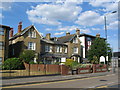

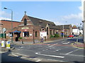
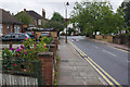
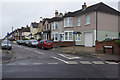
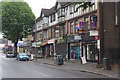
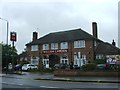
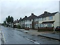
100 photos from this area
Area Information
Key information about the DA6 8PF including its size, population, and administrative classification.
- Area Type
- Postcode
- Area Size
- 2916 m²
- Population
- 1559
- Population Density
- 3724 people/km²
House Prices in DA6 8PF
12
Properties
£360,636
Average Sold Price
£51,500
Lowest Price
£960,000
Highest Price
Showing 12 properties
| Address | Type | Beds | Baths | Last Sale Price | Last Sale Date | |
|---|---|---|---|---|---|---|
| 62 Lion Road, Bexleyheath, DA6 8PF | Detached | 4 | 3 | £960,000 | Jun 2024 | |
| 64 Lion Road, Bexleyheath, DA6 8PF | Flat | 3 | 2 | £291,500 | May 2022 | |
| 60A Lion Road, Bexleyheath, DA6 8PF | Maisonette | 3 | 2 | £298,500 | Sep 2021 | |
| 76 Lion Road, Bexleyheath, DA6 8PF | Flat | 2 | 1 | £327,000 | Jul 2021 | |
| 74 Lion Road, Bexleyheath, DA6 8PF | Semi-detached | 3 | 1 | £435,000 | Aug 2017 | |
| 76A Lion Road, Bexleyheath, DA6 8PF | Flat | 2 | - | £285,000 | Mar 2017 | |
| 70 Lion Road, Bexleyheath, DA6 8PF | Semi-detached | 3 | - | £310,000 | Nov 2015 | |
| 64A Lion Road, Bexleyheath, DA6 8PF | Maisonette | 1 | 1 | £168,500 | Sep 2015 | |
| 66 Lion Road, Bexleyheath, DA6 8PF | Detached | 3 | 1 | £450,000 | May 2015 | |
| 72 Lion Road, Bexleyheath, DA6 8PF | Semi-detached | 3 | - | £390,000 | Aug 2014 |
Page 1 of 2
Energy Efficiency in DA6 8PF
Amenities
Schools
| Rank | School | Type | Entry gender | Ages |
|---|
Explore more schools in this area
Go to Schools tabDemographics
Household Size
Family (3-5 people)
most common
Accommodation Type
Houses
most common
Tenure
88
majority
Ethnic Group
White
most common
Religion
N/A
most common
Household Composition
N/A
most common
Age
47
median
Adults (30-64 years)
most common
Household Deprivation
N/A
with no deprivation
NS-SEC
39
in Lower managerial occupations
Explore more demographic insights in this area
Go to Demographics tabPlanning
Planning Constraints
- Flood RiskPremium
- Ramsar Wetland SitesPremium
- Area of Outstanding Natural BeautyPremium
- Protected Nature ReservePremium
- Protected WoodlandPremium