Area Overview for DA6 7AU
Photos of DA6 7AU
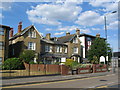
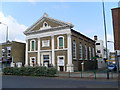
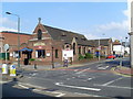
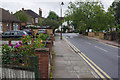
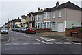
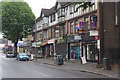
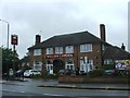
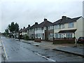
100 photos from this area
Area Information
Key information about the DA6 7AU including its size, population, and administrative classification.
- Area Type
- Postcode
- Area Size
- 2091 m²
- Population
- Not available
- Population Density
- Not available
House Prices in DA6 7AU
8
Properties
£212,500
Average Sold Price
£115,000
Lowest Price
£310,000
Highest Price
Showing 8 properties
| Address | Type | Beds | Baths | Last Sale Price | Last Sale Date | |
|---|---|---|---|---|---|---|
| 224A Broadway, Bexleyheath, DA6 7AU | office_workshop | - | - | £310,000 | Apr 2006 | |
| 216A Broadway, Bexleyheath, DA6 7AU | Flat | 2 | 1 | £115,000 | Jun 2005 | |
| 228B Broadway, Bexleyheath, DA6 7AU | Flat | - | - | - | - | |
| 218A Broadway, Bexleyheath, DA6 7AU | Flat | 2 | 1 | - | - | |
| Beirut City, 222 Broadway, Bexleyheath, DA6 7AU | Retail | - | - | - | - | |
| Masala Inn, 220 Broadway, Bexleyheath, DA6 7AU | Retail | - | - | - | - | |
| Flat Above, 220 Broadway, Bexleyheath, DA6 7AU | Flat | - | - | - | - | |
| 226A Broadway, Bexleyheath, DA6 7AU | Flat | 1 | 1 | - | - |
Energy Efficiency in DA6 7AU
Amenities
Schools
| Rank | School | Type | Entry gender | Ages |
|---|
Explore more schools in this area
Go to Schools tabDemographics
Household Size
Family (3-5 people)
most common
Accommodation Type
Houses
most common
Tenure
63
majority
Ethnic Group
White
most common
Religion
N/A
most common
Household Composition
N/A
most common
Age
47
median
Adults (30-64 years)
most common
Household Deprivation
N/A
with no deprivation
NS-SEC
35
in Lower managerial occupations
Explore more demographic insights in this area
Go to Demographics tabPlanning
Planning Constraints
- Flood RiskPremium
- Ramsar Wetland SitesPremium
- Area of Outstanding Natural BeautyPremium
- Protected Nature ReservePremium
- Protected WoodlandPremium