Area Overview for DA5 3NR
Photos of DA5 3NR
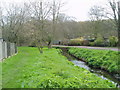
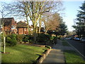
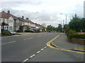

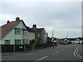
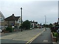
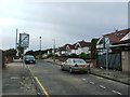

34 photos from this area
Area Information
Key information about the DA5 3NR including its size, population, and administrative classification.
- Area Type
- Postcode
- Area Size
- 4.0 hectares
- Population
- 1346
- Population Density
- 2955 people/km²
House Prices in DA5 3NR
11
Properties
£953,429
Average Sold Price
£575,000
Lowest Price
£1,525,000
Highest Price
Showing 11 properties
| Address | Type | Beds | Baths | Last Sale Price | Last Sale Date | |
|---|---|---|---|---|---|---|
| 34 Camden Road, Bexley, DA5 3NR | Detached | 6 | 4 | £1,525,000 | Sep 2024 | |
| 30 Camden Road, Bexley, DA5 3NR | house | - | - | £1,100,000 | May 2023 | |
| 32 Camden Road, Bexley, DA5 3NR | Detached | 4 | - | £900,000 | Feb 2016 | |
| 24 Camden Road, Bexley, DA5 3NR | house | - | - | £1,090,000 | Jul 2015 | |
| 28 Camden Road, Bexley, DA5 3NR | house | - | - | £704,000 | Jul 2010 | |
| 36 Camden Road, Bexley, DA5 3NR | Detached | - | - | £780,000 | Sep 2008 | |
| 22 Camden Road, Bexley, DA5 3NR | Detached | - | - | £575,000 | Apr 2004 | |
| 20 Camden Road, Bexley, DA5 3NR | Detached | 4 | 3 | - | - | |
| 16 Camden Road, Bexley, DA5 3NR | Detached | - | - | - | - | |
| 26 Camden Road, Bexley, DA5 3NR | house | - | - | - | - |
Page 1 of 2
Energy Efficiency in DA5 3NR
Amenities
Schools
| Rank | School | Type | Entry gender | Ages |
|---|
Explore more schools in this area
Go to Schools tabDemographics
Household Size
Family (3-5 people)
most common
Accommodation Type
Houses
most common
Tenure
95
majority
Ethnic Group
White
most common
Religion
N/A
most common
Household Composition
N/A
most common
Age
47
median
Adults (30-64 years)
most common
Household Deprivation
N/A
with no deprivation
NS-SEC
46
in Lower managerial occupations
Explore more demographic insights in this area
Go to Demographics tabPlanning
Planning Constraints
- Flood RiskPremium
- Ramsar Wetland SitesPremium
- Area of Outstanding Natural BeautyPremium
- Protected Nature ReservePremium
- Protected WoodlandPremium