Area Overview for DA5 1AP
Photos of DA5 1AP

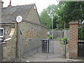
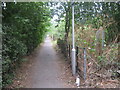
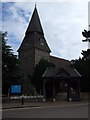
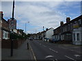
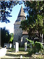
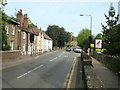
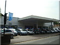

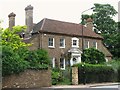

100 photos from this area
Area Information
Key information about the DA5 1AP including its size, population, and administrative classification.
- Area Type
- Postcode
- Area Size
- 1.6 hectares
- Population
- 1562
- Population Density
- 3421 people/km²
House Prices in DA5 1AP
37
Properties
£289,964
Average Sold Price
£95,000
Lowest Price
£700,000
Highest Price
Showing 37 properties
| Address | Type | Beds | Baths | Last Sale Price | Last Sale Date | |
|---|---|---|---|---|---|---|
| 53 Thanet Road, Bexley, DA5 1AP | Semi-detached | 4 | 2 | £700,000 | Aug 2024 | |
| 61 Thanet Road, Bexley, DA5 1AP | Retail | 3 | 1 | £680,000 | Nov 2022 | |
| 32 Thanet Road, Bexley, DA5 1AP | Semi-detached | 3 | 2 | £515,000 | Dec 2019 | |
| 56 Thanet Road, Bexley, DA5 1AP | Flat | - | - | £285,000 | Mar 2019 | |
| 70 Thanet Road, Bexley, DA5 1AP | Flat | - | - | £350,000 | Nov 2018 | |
| 46 Thanet Road, Bexley, DA5 1AP | Semi-detached | 3 | 1 | £610,000 | Sep 2018 | |
| 36 Thanet Road, Bexley, DA5 1AP | house | - | - | £468,000 | May 2018 | |
| 60 Thanet Road, Bexley, DA5 1AP | Flat | - | - | £350,000 | Oct 2017 | |
| 55 Thanet Road, Bexley, DA5 1AP | house | - | - | £401,000 | Apr 2015 | |
| 39 Thanet Road, Bexley, DA5 1AP | house | - | - | £410,000 | Mar 2015 |
Page 1 of 4
Energy Efficiency in DA5 1AP
Amenities
Schools
| Rank | School | Type | Entry gender | Ages |
|---|
Explore more schools in this area
Go to Schools tabDemographics
Household Size
Family (3-5 people)
most common
Accommodation Type
Houses
most common
Tenure
87
majority
Ethnic Group
White
most common
Religion
N/A
most common
Household Composition
N/A
most common
Age
47
median
Adults (30-64 years)
most common
Household Deprivation
N/A
with no deprivation
NS-SEC
49
in Lower managerial occupations
Explore more demographic insights in this area
Go to Demographics tabPlanning
Planning Constraints
- Flood RiskPremium
- Ramsar Wetland SitesPremium
- Area of Outstanding Natural BeautyPremium
- Protected Nature ReservePremium
- Protected WoodlandPremium