Area Overview for DA16 3HZ
Photos of DA16 3HZ
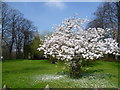
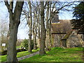
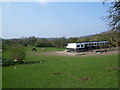
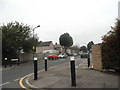
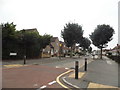
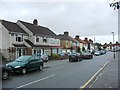
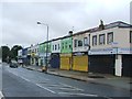
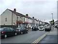
93 photos from this area
Area Information
Key information about the DA16 3HZ including its size, population, and administrative classification.
- Area Type
- Postcode
- Area Size
- 2.8 hectares
- Population
- 1816
- Population Density
- 6728 people/km²
House Prices in DA16 3HZ
51
Properties
£297,727
Average Sold Price
£67,600
Lowest Price
£634,390
Highest Price
Showing 51 properties
| Address | Type | Beds | Baths | Last Sale Price | Last Sale Date | |
|---|---|---|---|---|---|---|
| 14 Olyffe Avenue, Welling, DA16 3HZ | Semi-detached | 4 | 2 | £580,000 | Mar 2025 | |
| 23 Olyffe Avenue, Welling, DA16 3HZ | Semi-detached | 4 | 2 | £585,000 | Dec 2023 | |
| 38 Olyffe Avenue, Welling, DA16 3HZ | Semi-detached | 3 | - | £634,390 | Dec 2021 | |
| 9 Olyffe Avenue, Welling, DA16 3HZ | house | - | - | £402,000 | Sep 2020 | |
| 1 Olyffe Avenue, Welling, DA16 3HZ | Semi-detached | 3 | 1 | £370,000 | Jan 2019 | |
| 33 Olyffe Avenue, Welling, DA16 3HZ | Semi-detached | 5 | 3 | £460,000 | Sep 2018 | |
| 50 Olyffe Avenue, Welling, DA16 3HZ | house | - | - | £425,000 | Nov 2017 | |
| 18 Olyffe Avenue, Welling, DA16 3HZ | Semi-detached | 3 | 1 | £406,000 | Nov 2016 | |
| 46 Olyffe Avenue, Welling, DA16 3HZ | Semi-detached | 3 | 1 | £340,000 | Feb 2016 | |
| 40 Olyffe Avenue, Welling, DA16 3HZ | Semi-detached | 3 | 2 | £260,000 | Sep 2014 |
Page 1 of 6
Energy Efficiency in DA16 3HZ
Amenities
Schools
| Rank | School | Type | Entry gender | Ages |
|---|
Explore more schools in this area
Go to Schools tabDemographics
Household Size
Family (3-5 people)
most common
Accommodation Type
Houses
most common
Tenure
55
majority
Ethnic Group
White
most common
Religion
N/A
most common
Household Composition
N/A
most common
Age
47
median
Adults (30-64 years)
most common
Household Deprivation
N/A
with no deprivation
NS-SEC
26
in Lower managerial occupations
Explore more demographic insights in this area
Go to Demographics tabPlanning
Planning Constraints
- Flood RiskPremium
- Ramsar Wetland SitesPremium
- Area of Outstanding Natural BeautyPremium
- Protected Nature ReservePremium
- Protected WoodlandPremium