Area Overview for DA16 3BS
Photos of DA16 3BS
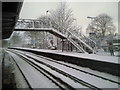
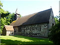

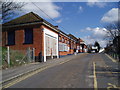
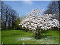
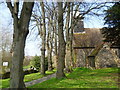
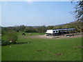
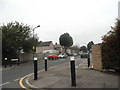
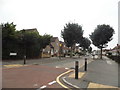
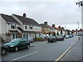
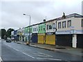
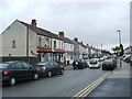
93 photos from this area
Area Information
Key information about the DA16 3BS including its size, population, and administrative classification.
- Area Type
- Postcode
- Area Size
- 1.2 hectares
- Population
- 1816
- Population Density
- 6728 people/km²
House Prices in DA16 3BS
25
Properties
£243,210
Average Sold Price
£66,700
Lowest Price
£450,000
Highest Price
Showing 25 properties
| Address | Type | Beds | Baths | Last Sale Price | Last Sale Date | |
|---|---|---|---|---|---|---|
| 167 Wickham Street, Welling, DA16 3BS | Semi-detached | 3 | 1 | £415,000 | Jul 2024 | |
| 163 Wickham Street, Welling, DA16 3BS | Semi-detached | 3 | 1 | £450,000 | Nov 2022 | |
| 191 Wickham Street, Welling, DA16 3BS | house | - | - | £425,000 | Oct 2021 | |
| 165 Wickham Street, Welling, DA16 3BS | Semi-detached | 3 | 1 | £400,000 | Feb 2021 | |
| 171 Wickham Street, Welling, DA16 3BS | house | 3 | - | £250,000 | Aug 2012 | |
| 189 Wickham Street, Welling, DA16 3BS | house | 4 | - | £205,000 | Oct 2011 | |
| 169 Wickham Street, Welling, DA16 3BS | Semi-detached | - | - | £264,000 | Apr 2007 | |
| 177 Wickham Street, Welling, DA16 3BS | house | - | - | £209,000 | Jan 2007 | |
| 201 Wickham Street, Welling, DA16 3BS | Semi-detached | - | - | £195,000 | Jul 2004 | |
| 161 Wickham Street, Welling, DA16 3BS | Semi-detached | 3 | - | £173,000 | Jul 2003 |
Page 1 of 3
Energy Efficiency in DA16 3BS
Amenities
Schools
| Rank | School | Type | Entry gender | Ages |
|---|
Explore more schools in this area
Go to Schools tabDemographics
Household Size
Family (3-5 people)
most common
Accommodation Type
Houses
most common
Tenure
55
majority
Ethnic Group
White
most common
Religion
N/A
most common
Household Composition
N/A
most common
Age
47
median
Adults (30-64 years)
most common
Household Deprivation
N/A
with no deprivation
NS-SEC
26
in Lower managerial occupations
Explore more demographic insights in this area
Go to Demographics tabPlanning
Planning Constraints
- Flood RiskPremium
- Ramsar Wetland SitesPremium
- Area of Outstanding Natural BeautyPremium
- Protected Nature ReservePremium
- Protected WoodlandPremium