Area Overview for DA16 2AF
Photos of DA16 2AF

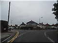
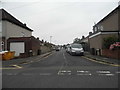
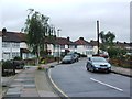
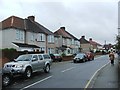
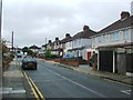
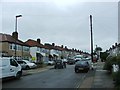
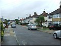
83 photos from this area
Area Information
Key information about the DA16 2AF including its size, population, and administrative classification.
- Area Type
- Postcode
- Area Size
- 1.7 hectares
- Population
- 1513
- Population Density
- 2855 people/km²
House Prices in DA16 2AF
42
Properties
£336,709
Average Sold Price
£58,500
Lowest Price
£670,000
Highest Price
Showing 42 properties
| Address | Type | Beds | Baths | Last Sale Price | Last Sale Date | |
|---|---|---|---|---|---|---|
| 22 St Johns Road, Welling, DA16 2AF | Bungalow | 3 | 1 | £523,000 | Nov 2025 | |
| 12 St Johns Road, Welling, DA16 2AF | Bungalow | 4 | 2 | £600,000 | Feb 2025 | |
| 1 St Johns Road, Welling, DA16 2AF | Bungalow | 4 | 2 | £670,000 | Jun 2023 | |
| 13 St Johns Road, Welling, DA16 2AF | Bungalow | 3 | 1 | £476,000 | Jul 2022 | |
| 29 St Johns Road, Welling, DA16 2AF | Bungalow | 2 | 1 | £440,000 | Apr 2022 | |
| 24 St Johns Road, Welling, DA16 2AF | Bungalow | - | - | £375,000 | Mar 2021 | |
| 27 St Johns Road, Welling, DA16 2AF | Bungalow | 3 | 1 | £402,500 | Oct 2018 | |
| 23 St Johns Road, Welling, DA16 2AF | Bungalow | 4 | 2 | £489,407 | Sep 2018 | |
| 18 St Johns Road, Welling, DA16 2AF | Bungalow | 2 | 1 | £340,000 | Oct 2017 | |
| 20 St Johns Road, Welling, DA16 2AF | Detached | 2 | 1 | £361,000 | Oct 2017 |
Page 1 of 5
Energy Efficiency in DA16 2AF
Amenities
Schools
| Rank | School | Type | Entry gender | Ages |
|---|
Explore more schools in this area
Go to Schools tabDemographics
Household Size
Family (3-5 people)
most common
Accommodation Type
Houses
most common
Tenure
89
majority
Ethnic Group
White
most common
Religion
N/A
most common
Household Composition
N/A
most common
Age
47
median
Adults (30-64 years)
most common
Household Deprivation
N/A
with no deprivation
NS-SEC
37
in Lower managerial occupations
Explore more demographic insights in this area
Go to Demographics tabPlanning
Planning Constraints
- Flood RiskPremium
- Ramsar Wetland SitesPremium
- Area of Outstanding Natural BeautyPremium
- Protected Nature ReservePremium
- Protected WoodlandPremium