Area Overview for DA16 1BU
Photos of DA16 1BU

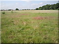
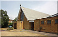
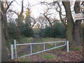

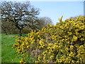
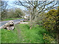
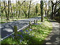
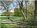
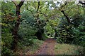
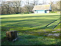
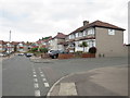
59 photos from this area
Area Information
Key information about the DA16 1BU including its size, population, and administrative classification.
- Area Type
- Postcode
- Area Size
- 2.3 hectares
- Population
- Not available
- Population Density
- Not available
House Prices in DA16 1BU
40
Properties
£349,282
Average Sold Price
£83,995
Lowest Price
£665,000
Highest Price
Showing 40 properties
| Address | Type | Beds | Baths | Last Sale Price | Last Sale Date | |
|---|---|---|---|---|---|---|
| 75 Totnes Road, Welling, DA16 1BU | Semi-detached | 5 | 2 | £600,000 | Jul 2025 | |
| 1B Totnes Road, Welling, DA16 1BU | house | 4 | 3 | £665,000 | Sep 2024 | |
| 13 Totnes Road, Welling, DA16 1BU | Semi-detached | 3 | 1 | £360,000 | Mar 2024 | |
| 49 Totnes Road, Welling, DA16 1BU | Semi-detached | 3 | 1 | £400,000 | Feb 2024 | |
| 71 Totnes Road, Welling, DA16 1BU | Semi-detached | 4 | 2 | £560,000 | Jun 2023 | |
| 73 Totnes Road, Welling, DA16 1BU | Semi-detached | 3 | 1 | £560,000 | Dec 2022 | |
| 35 Totnes Road, Welling, DA16 1BU | house | - | - | £490,000 | Feb 2021 | |
| 37 Totnes Road, Welling, DA16 1BU | house | - | - | £430,000 | Jan 2021 | |
| 39 Totnes Road, Welling, DA16 1BU | Semi-detached | 4 | 1 | £450,000 | Jun 2018 | |
| 31 Totnes Road, Welling, DA16 1BU | Semi-detached | 3 | - | £382,000 | Sep 2017 |
Page 1 of 4
Energy Efficiency in DA16 1BU
Amenities
Schools
| Rank | School | Type | Entry gender | Ages |
|---|
Explore more schools in this area
Go to Schools tabDemographics
Household Size
Family (3-5 people)
most common
Accommodation Type
Houses
most common
Tenure
90
majority
Ethnic Group
White
most common
Religion
N/A
most common
Household Composition
N/A
most common
Age
47
median
Adults (30-64 years)
most common
Household Deprivation
N/A
with no deprivation
NS-SEC
35
in Lower managerial occupations
Explore more demographic insights in this area
Go to Demographics tabPlanning
Planning Constraints
- Flood RiskPremium
- Ramsar Wetland SitesPremium
- Area of Outstanding Natural BeautyPremium
- Protected Nature ReservePremium
- Protected WoodlandPremium