Area Overview for DA15 9NJ
Photos of DA15 9NJ
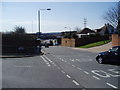
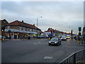
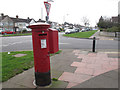
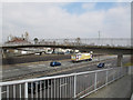
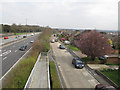
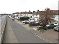
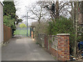
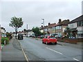
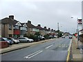
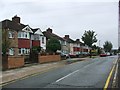
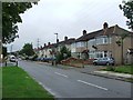
85 photos from this area
Area Information
Key information about the DA15 9NJ including its size, population, and administrative classification.
- Area Type
- Postcode
- Area Size
- 1.5 hectares
- Population
- 1618
- Population Density
- 4699 people/km²
House Prices in DA15 9NJ
35
Properties
£330,614
Average Sold Price
£95,000
Lowest Price
£640,000
Highest Price
Showing 35 properties
| Address | Type | Beds | Baths | Last Sale Price | Last Sale Date | |
|---|---|---|---|---|---|---|
| 347 Blackfen Road, Sidcup, DA15 9NJ | Bungalow | - | - | £460,000 | May 2022 | |
| 369 Blackfen Road, Sidcup, DA15 9NJ | house | - | - | £577,000 | May 2021 | |
| 343 Blackfen Road, Sidcup, DA15 9NJ | Bungalow | 2 | 1 | £282,000 | Feb 2020 | |
| 397 Blackfen Road, Sidcup, DA15 9NJ | Terraced | 3 | 3 | £360,000 | Dec 2019 | |
| 355 Blackfen Road, Sidcup, DA15 9NJ | Semi-detached | 2 | 1 | £372,500 | Nov 2018 | |
| 379 Blackfen Road, Sidcup, DA15 9NJ | Detached | 4 | 3 | £640,000 | Oct 2018 | |
| 359 Blackfen Road, Sidcup, DA15 9NJ | house | - | - | £430,000 | Mar 2017 | |
| 385 Blackfen Road, Sidcup, DA15 9NJ | Bungalow | 2 | 1 | £350,000 | Sep 2016 | |
| Rosewood Cottage, 343A Blackfen Road, Sidcup, DA15 9NJ | Semi-detached | 3 | - | £342,000 | Jun 2016 | |
| 351 Blackfen Road, Sidcup, DA15 9NJ | Bungalow | - | - | £525,000 | Oct 2015 |
Page 1 of 4
Energy Efficiency in DA15 9NJ
Amenities
Schools
| Rank | School | Type | Entry gender | Ages |
|---|
Explore more schools in this area
Go to Schools tabDemographics
Household Size
Family (3-5 people)
most common
Accommodation Type
Houses
most common
Tenure
75
majority
Ethnic Group
White
most common
Religion
N/A
most common
Household Composition
N/A
most common
Age
47
median
Adults (30-64 years)
most common
Household Deprivation
N/A
with no deprivation
NS-SEC
31
in Lower managerial occupations
Explore more demographic insights in this area
Go to Demographics tabPlanning
Planning Constraints
- Flood RiskPremium
- Ramsar Wetland SitesPremium
- Area of Outstanding Natural BeautyPremium
- Protected Nature ReservePremium
- Protected WoodlandPremium