Area Overview for DA15 9EN
Photos of DA15 9EN
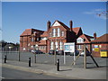
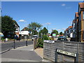
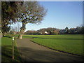
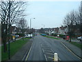
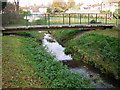
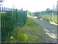
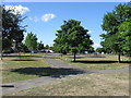
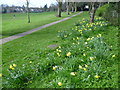

67 photos from this area
Area Information
Key information about the DA15 9EN including its size, population, and administrative classification.
- Area Type
- Postcode
- Area Size
- 2.6 hectares
- Population
- 1486
- Population Density
- 5514 people/km²
House Prices in DA15 9EN
37
Properties
£394,833
Average Sold Price
£132,000
Lowest Price
£650,000
Highest Price
Showing 37 properties
| Address | Type | Beds | Baths | Last Sale Price | Last Sale Date | |
|---|---|---|---|---|---|---|
| 96 Willersley Avenue, Sidcup, DA15 9EN | house | - | - | £495,000 | Nov 2024 | |
| 118A Willersley Avenue, Sidcup, DA15 9EN | Detached | 5 | 3 | £620,000 | Apr 2024 | |
| 100 Willersley Avenue, Sidcup, DA15 9EN | Semi-detached | 3 | 2 | £650,000 | Sep 2023 | |
| 78 Willersley Avenue, Sidcup, DA15 9EN | Semi-detached | 2 | - | £500,000 | May 2022 | |
| 132 Willersley Avenue, Sidcup, DA15 9EN | Semi-detached | 3 | 1 | £565,000 | Mar 2022 | |
| 80 Willersley Avenue, Sidcup, DA15 9EN | house | 1 | 1 | £531,000 | Nov 2021 | |
| 110 Willersley Avenue, Sidcup, DA15 9EN | house | - | - | £560,000 | Feb 2021 | |
| 72 Willersley Avenue, Sidcup, DA15 9EN | Detached | 4 | 2 | £495,000 | Feb 2021 | |
| 130 Willersley Avenue, Sidcup, DA15 9EN | Semi-detached | 3 | - | £450,000 | Apr 2018 | |
| 74 Willersley Avenue, Sidcup, DA15 9EN | Semi-detached | 4 | 1 | £535,000 | Dec 2017 |
Page 1 of 4
Energy Efficiency in DA15 9EN
Amenities
Schools
| Rank | School | Type | Entry gender | Ages |
|---|
Explore more schools in this area
Go to Schools tabDemographics
Household Size
Family (3-5 people)
most common
Accommodation Type
Houses
most common
Tenure
89
majority
Ethnic Group
White
most common
Religion
N/A
most common
Household Composition
N/A
most common
Age
47
median
Adults (30-64 years)
most common
Household Deprivation
N/A
with no deprivation
NS-SEC
35
in Lower managerial occupations
Explore more demographic insights in this area
Go to Demographics tabPlanning
Planning Constraints
- Flood RiskPremium
- Ramsar Wetland SitesPremium
- Area of Outstanding Natural BeautyPremium
- Protected Nature ReservePremium
- Protected WoodlandPremium