Area Overview for DA15 8JH
Photos of DA15 8JH
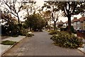
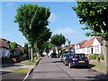
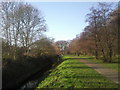
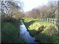
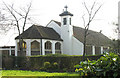
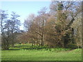
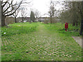
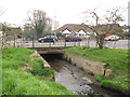
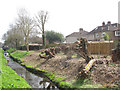
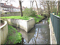
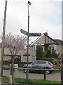
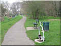
57 photos from this area
Area Information
Key information about the DA15 8JH including its size, population, and administrative classification.
- Area Type
- Postcode
- Area Size
- 9944 m²
- Population
- 1592
- Population Density
- 7026 people/km²
House Prices in DA15 8JH
32
Properties
£367,190
Average Sold Price
£81,000
Lowest Price
£630,000
Highest Price
Showing 32 properties
| Address | Type | Beds | Baths | Last Sale Price | Last Sale Date | |
|---|---|---|---|---|---|---|
| 32 Merrilees Road, Sidcup, DA15 8JH | Terraced | 3 | 1 | £509,000 | Mar 2025 | |
| 26 Merrilees Road, Sidcup, DA15 8JH | house | - | - | £340,000 | Oct 2024 | |
| 18 Merrilees Road, Sidcup, DA15 8JH | Terraced | 4 | 2 | £575,000 | Jun 2023 | |
| 3 Merrilees Road, Sidcup, DA15 8JH | Semi-detached | 3 | 1 | £580,000 | Mar 2023 | |
| 17 Merrilees Road, Sidcup, DA15 8JH | Retail | 3 | 1 | £520,000 | Oct 2022 | |
| 12 Merrilees Road, Sidcup, DA15 8JH | Retail | 4 | 2 | £525,000 | Oct 2022 | |
| 4 Merrilees Road, Sidcup, DA15 8JH | Semi-detached | 3 | 1 | £575,000 | Feb 2022 | |
| 10 Merrilees Road, Sidcup, DA15 8JH | house | - | - | £370,000 | Mar 2021 | |
| 6 Merrilees Road, Sidcup, DA15 8JH | Semi-detached | 3 | - | £482,500 | Jul 2019 | |
| 2 Merrilees Road, Sidcup, DA15 8JH | Semi-detached | 3 | 3 | £630,000 | Nov 2017 |
Page 1 of 4
Energy Efficiency in DA15 8JH
Amenities
Schools
| Rank | School | Type | Entry gender | Ages |
|---|
Explore more schools in this area
Go to Schools tabDemographics
Household Size
Family (3-5 people)
most common
Accommodation Type
Houses
most common
Tenure
85
majority
Ethnic Group
White
most common
Religion
N/A
most common
Household Composition
N/A
most common
Age
47
median
Adults (30-64 years)
most common
Household Deprivation
N/A
with no deprivation
NS-SEC
38
in Lower managerial occupations
Explore more demographic insights in this area
Go to Demographics tabPlanning
Planning Constraints
- Flood RiskPremium
- Ramsar Wetland SitesPremium
- Area of Outstanding Natural BeautyPremium
- Protected Nature ReservePremium
- Protected WoodlandPremium