Area Overview for DA15 8EW
Photos of DA15 8EW
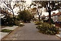
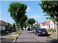
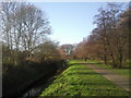
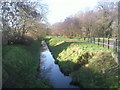
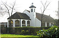
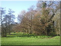
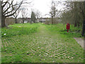
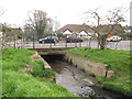
57 photos from this area
Area Information
Key information about the DA15 8EW including its size, population, and administrative classification.
- Area Type
- Postcode
- Area Size
- 1.6 hectares
- Population
- 1342
- Population Density
- 6461 people/km²
House Prices in DA15 8EW
32
Properties
£458,237
Average Sold Price
£119,000
Lowest Price
£782,000
Highest Price
Showing 32 properties
| Address | Type | Beds | Baths | Last Sale Price | Last Sale Date | |
|---|---|---|---|---|---|---|
| 56 Braundton Avenue, Sidcup, DA15 8EW | Semi-detached | 5 | 4 | £782,000 | Feb 2025 | |
| 62 Braundton Avenue, Sidcup, DA15 8EW | Semi-detached | 4 | 3 | £757,000 | Aug 2021 | |
| 28 Braundton Avenue, Sidcup, DA15 8EW | house | - | - | £725,000 | Jul 2021 | |
| 58 Braundton Avenue, Sidcup, DA15 8EW | Semi-detached | 3 | - | £595,000 | Mar 2021 | |
| 36 Braundton Avenue, Sidcup, DA15 8EW | Semi-detached | 4 | 1 | £678,000 | Oct 2020 | |
| 12 Braundton Avenue, Sidcup, DA15 8EW | Semi-detached | 5 | 2 | £585,000 | Sep 2019 | |
| 40 Braundton Avenue, Sidcup, DA15 8EW | Semi-detached | 3 | 2 | £600,000 | Jul 2018 | |
| 52 Braundton Avenue, Sidcup, DA15 8EW | house | - | - | £480,000 | Sep 2015 | |
| 4 Braundton Avenue, Sidcup, DA15 8EW | Semi-detached | 4 | - | £480,000 | Aug 2013 | |
| 50 Braundton Avenue, Sidcup, DA15 8EW | house | 4 | - | £435,000 | Apr 2012 |
Page 1 of 4
Energy Efficiency in DA15 8EW
Amenities
Schools
| Rank | School | Type | Entry gender | Ages |
|---|
Explore more schools in this area
Go to Schools tabDemographics
Household Size
Family (3-5 people)
most common
Accommodation Type
Houses
most common
Tenure
91
majority
Ethnic Group
White
most common
Religion
N/A
most common
Household Composition
N/A
most common
Age
47
median
Adults (30-64 years)
most common
Household Deprivation
N/A
with no deprivation
NS-SEC
41
in Lower managerial occupations
Explore more demographic insights in this area
Go to Demographics tabPlanning
Planning Constraints
- Flood RiskPremium
- Ramsar Wetland SitesPremium
- Area of Outstanding Natural BeautyPremium
- Protected Nature ReservePremium
- Protected WoodlandPremium