Area Overview for DA15 7LB
Photos of DA15 7LB
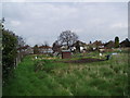
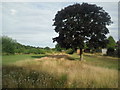
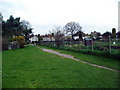
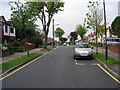
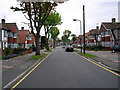
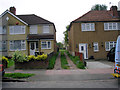
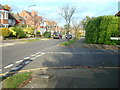
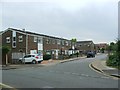
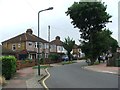
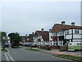
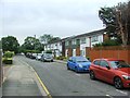
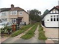
56 photos from this area
Area Information
Key information about the DA15 7LB including its size, population, and administrative classification.
- Area Type
- Postcode
- Area Size
- 5.5 hectares
- Population
- 1727
- Population Density
- 4479 people/km²
House Prices in DA15 7LB
40
Properties
£395,850
Average Sold Price
£122,000
Lowest Price
£745,000
Highest Price
Showing 40 properties
| Address | Type | Beds | Baths | Last Sale Price | Last Sale Date | |
|---|---|---|---|---|---|---|
| 189 Longlands Road, Sidcup, DA15 7LB | Semi-detached | 4 | 1 | £745,000 | Sep 2023 | |
| 131 Longlands Road, Sidcup, DA15 7LB | house | - | - | £654,000 | Sep 2021 | |
| 187 Longlands Road, Sidcup, DA15 7LB | Semi-detached | 3 | 1 | £555,000 | Feb 2020 | |
| 179 Longlands Road, Sidcup, DA15 7LB | Semi-detached | 3 | 2 | £510,000 | Dec 2018 | |
| 181 Longlands Road, Sidcup, DA15 7LB | Semi-detached | 4 | 1 | £575,000 | Sep 2018 | |
| 161 Longlands Road, Sidcup, DA15 7LB | Semi-detached | 4 | 2 | £645,000 | Oct 2017 | |
| 141 Longlands Road, Sidcup, DA15 7LB | house | - | - | £593,000 | Jan 2017 | |
| 129 Longlands Road, Sidcup, DA15 7LB | house | - | - | £425,000 | Feb 2014 | |
| 191 Longlands Road, Sidcup, DA15 7LB | house | - | - | £400,000 | Apr 2013 | |
| 149 Longlands Road, Sidcup, DA15 7LB | Semi-detached | 3 | 1 | £420,000 | Nov 2012 |
Page 1 of 4
Energy Efficiency in DA15 7LB
Amenities
Schools
| Rank | School | Type | Entry gender | Ages |
|---|
Explore more schools in this area
Go to Schools tabDemographics
Household Size
Two person
most common
Accommodation Type
Houses
most common
Tenure
81
majority
Ethnic Group
White
most common
Religion
N/A
most common
Household Composition
N/A
most common
Age
47
median
Adults (30-64 years)
most common
Household Deprivation
N/A
with no deprivation
NS-SEC
48
in Lower managerial occupations
Explore more demographic insights in this area
Go to Demographics tabPlanning
Planning Constraints
- Flood RiskPremium
- Ramsar Wetland SitesPremium
- Area of Outstanding Natural BeautyPremium
- Protected Nature ReservePremium
- Protected WoodlandPremium