Area Overview for DA14 6RJ
Photos of DA14 6RJ
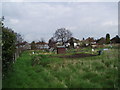
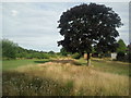
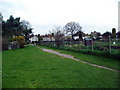
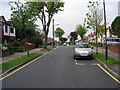
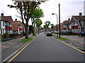
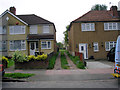
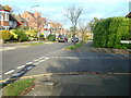
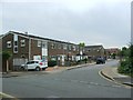
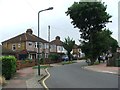
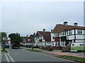
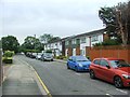
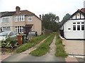
56 photos from this area
Area Information
Key information about the DA14 6RJ including its size, population, and administrative classification.
- Area Type
- Postcode
- Area Size
- 6194 m²
- Population
- 1672
- Population Density
- 6531 people/km²
House Prices in DA14 6RJ
21
Properties
£246,558
Average Sold Price
£55,000
Lowest Price
£365,000
Highest Price
Showing 21 properties
| Address | Type | Beds | Baths | Last Sale Price | Last Sale Date | |
|---|---|---|---|---|---|---|
| 205 Main Road, Sidcup, DA14 6RJ | Maisonette | 2 | 1 | £327,500 | Nov 2025 | |
| 199 Main Road, Sidcup, DA14 6RJ | Maisonette | 2 | 1 | £335,000 | Feb 2025 | |
| 221 Main Road, Sidcup, DA14 6RJ | Maisonette | 2 | 1 | £290,000 | May 2024 | |
| 193 Main Road, Sidcup, DA14 6RJ | Maisonette | 2 | 1 | £365,000 | Feb 2023 | |
| 203 Main Road, Sidcup, DA14 6RJ | Maisonette | 2 | 1 | £306,000 | Jul 2022 | |
| 217 Main Road, Sidcup, DA14 6RJ | Maisonette | 2 | 1 | £336,000 | Mar 2022 | |
| 219 Main Road, Sidcup, DA14 6RJ | Maisonette | - | - | £307,000 | Sep 2021 | |
| 213 Main Road, Sidcup, DA14 6RJ | Flat | - | - | £312,500 | May 2021 | |
| 225 Main Road, Sidcup, DA14 6RJ | Maisonette | 2 | 1 | £302,500 | Sep 2018 | |
| 201 Main Road, Sidcup, DA14 6RJ | Maisonette | 2 | - | £299,995 | Dec 2016 |
Page 1 of 3
Energy Efficiency in DA14 6RJ
Amenities
Schools
| Rank | School | Type | Entry gender | Ages |
|---|
Explore more schools in this area
Go to Schools tabDemographics
Household Size
Two person
most common
Accommodation Type
Houses
most common
Tenure
72
majority
Ethnic Group
White
most common
Religion
N/A
most common
Household Composition
N/A
most common
Age
47
median
Adults (30-64 years)
most common
Household Deprivation
N/A
with no deprivation
NS-SEC
40
in Lower managerial occupations
Explore more demographic insights in this area
Go to Demographics tabPlanning
Planning Constraints
- Flood RiskPremium
- Ramsar Wetland SitesPremium
- Area of Outstanding Natural BeautyPremium
- Protected Nature ReservePremium
- Protected WoodlandPremium