Area Overview for DA14 5LA
Photos of DA14 5LA
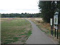
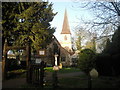
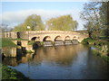
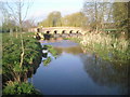
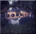
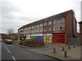
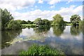
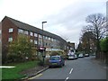
61 photos from this area
Area Information
Key information about the DA14 5LA including its size, population, and administrative classification.
- Area Type
- Postcode
- Area Size
- 6625 m²
- Population
- 2006
- Population Density
- 3358 people/km²
House Prices in DA14 5LA
24
Properties
£240,278
Average Sold Price
£106,500
Lowest Price
£415,000
Highest Price
Showing 24 properties
| Address | Type | Beds | Baths | Last Sale Price | Last Sale Date | |
|---|---|---|---|---|---|---|
| 56 Ellenborough Road, Sidcup, DA14 5LA | Terraced | 3 | 1 | £300,000 | Apr 2025 | |
| 80 Ellenborough Road, Sidcup, DA14 5LA | Terraced | 3 | 1 | £415,000 | Jan 2024 | |
| 72 Ellenborough Road, Sidcup, DA14 5LA | house | - | - | £325,000 | Sep 2020 | |
| 58 Ellenborough Road, Sidcup, DA14 5LA | Semi-detached | 2 | 1 | £250,000 | Sep 2014 | |
| 62 Ellenborough Road, Sidcup, DA14 5LA | Terraced | 3 | - | £215,000 | Aug 2013 | |
| 48 Ellenborough Road, Sidcup, DA14 5LA | Terraced | - | - | £201,500 | Dec 2007 | |
| 70 Ellenborough Road, Sidcup, DA14 5LA | Terraced | - | - | £187,500 | Dec 2006 | |
| 74 Ellenborough Road, Sidcup, DA14 5LA | Terraced | 3 | 1 | £162,000 | Jul 2006 | |
| 60 Ellenborough Road, Sidcup, DA14 5LA | Semi-detached | 2 | - | £106,500 | Feb 2002 | |
| 64 Ellenborough Road, Sidcup, DA14 5LA | Terraced | 3 | 1 | - | - |
Page 1 of 3
Energy Efficiency in DA14 5LA
Amenities
Schools
| Rank | School | Type | Entry gender | Ages |
|---|
Explore more schools in this area
Go to Schools tabDemographics
Household Size
Family (3-5 people)
most common
Accommodation Type
Houses
most common
Tenure
52
majority
Ethnic Group
White
most common
Religion
N/A
most common
Household Composition
N/A
most common
Age
47
median
Adults (30-64 years)
most common
Household Deprivation
N/A
with no deprivation
NS-SEC
27
in Lower managerial occupations
Explore more demographic insights in this area
Go to Demographics tabPlanning
Planning Constraints
- Flood RiskPremium
- Ramsar Wetland SitesPremium
- Area of Outstanding Natural BeautyPremium
- Protected Nature ReservePremium
- Protected WoodlandPremium