Area Overview for DA14 5EX
Photos of DA14 5EX
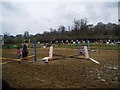
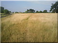
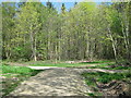
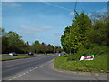
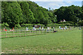
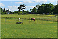
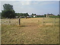
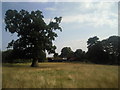
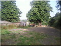
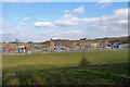
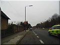
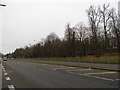
16 photos from this area
Area Information
Key information about the DA14 5EX including its size, population, and administrative classification.
- Area Type
- Postcode
- Area Size
- 21.4 hectares
- Population
- 1617
- Population Density
- 786 people/km²
House Prices in DA14 5EX
15
Properties
£479,500
Average Sold Price
£159,000
Lowest Price
£800,000
Highest Price
Showing 15 properties
| Address | Type | Beds | Baths | Last Sale Price | Last Sale Date | |
|---|---|---|---|---|---|---|
| The Red House, Bunkers Hill, Sidcup, DA14 5EX | house | 3 | - | £800,000 | Dec 2012 | |
| Corner Cottage, Bunkers Hill, Sidcup, DA14 5EX | Detached | - | - | £159,000 | Sep 1997 | |
| Little Mascal Farm House, Bunkers Hill, Sidcup, DA14 5EX | Equestrian | - | - | - | - | |
| Kennels, Pond Farm, Cocksure Lane, Sidcup, DA14 5EX | commercial | - | - | - | - | |
| Chase Park Stables, Bunkers Hill, Sidcup, DA14 5EX | Equestrian | - | - | - | - | |
| Enterprise Catering, Pond Farm, Cocksure Lane, Sidcup, DA14 5EX | Restaurant | - | - | - | - | |
| Pond Farm, Cocksure Lane, Sidcup, DA14 5EX | commercial | - | - | - | - | |
| Little Acre Stud Farm, Bunkers Hill, Sidcup, DA14 5EX | Farm | - | - | - | - | |
| Unit 1, Little Acre Stud Farm, Bunkers Hill, Sidcup, DA14 5EX | office_workshop | - | - | - | - | |
| Unit 2, Little Acre Stud Farm, Bunkers Hill, Sidcup, DA14 5EX | office_workshop | - | - | - | - |
Page 1 of 2
Energy Efficiency in DA14 5EX
Amenities
Schools
| Rank | School | Type | Entry gender | Ages |
|---|
Explore more schools in this area
Go to Schools tabDemographics
Household Size
Family (3-5 people)
most common
Accommodation Type
Houses
most common
Tenure
59
majority
Ethnic Group
White
most common
Religion
N/A
most common
Household Composition
N/A
most common
Age
47
median
Adults (30-64 years)
most common
Household Deprivation
N/A
with no deprivation
NS-SEC
29
in Lower managerial occupations
Explore more demographic insights in this area
Go to Demographics tabPlanning
Planning Constraints
- Flood RiskPremium
- Ramsar Wetland SitesPremium
- Area of Outstanding Natural BeautyPremium
- Protected Nature ReservePremium
- Protected WoodlandPremium