Area Overview for DA14 5ED
Photos of DA14 5ED
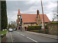
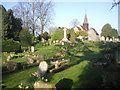
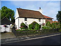
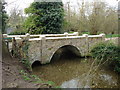
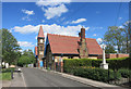
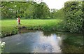
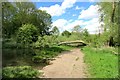
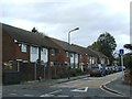
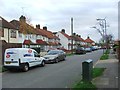
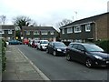
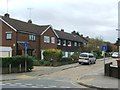
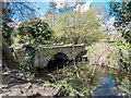
66 photos from this area
Area Information
Key information about the DA14 5ED including its size, population, and administrative classification.
- Area Type
- Postcode
- Area Size
- 10.9 hectares
- Population
- 1537
- Population Density
- 2788 people/km²
House Prices in DA14 5ED
8
Properties
£4,167,510
Average Sold Price
£167,000
Lowest Price
£12,130,536
Highest Price
Showing 8 properties
| Address | Type | Beds | Baths | Last Sale Price | Last Sale Date | |
|---|---|---|---|---|---|---|
| Baugh House, 19 Baugh Road, Sidcup, DA14 5ED | hospital_care_home | - | - | £12,130,536 | Mar 2023 | |
| 9 Baugh Road, Sidcup, DA14 5ED | Retail | - | - | £204,995 | Oct 2003 | |
| 11 Baugh Road, Sidcup, DA14 5ED | Terraced | - | - | £167,000 | Feb 2002 | |
| Road Safety Training Site, Baugh Road, Sidcup, DA14 5ED | commercial | - | - | - | - | |
| Tennis 36M From David Lloyd Leisure Plc, Baugh Road 97M From Baugh Road, Baugh Road, Sidcup, DA14 5ED | Leisure | - | - | - | - | |
| Tennis 51M From David Lloyd Leisure Plc, Baugh Road 56M From Baugh Road, Baugh Road, Sidcup, DA14 5ED | Leisure | - | - | - | - | |
| Tennis 69M From David Lloyd Leisure Plc, Baugh Road 125M From Baugh Road, Baugh Road, Sidcup, DA14 5ED | Leisure | - | - | - | - | |
| 7 Baugh Road, Sidcup, DA14 5ED | house | - | - | - | - |
Energy Efficiency in DA14 5ED
Amenities
Schools
| Rank | School | Type | Entry gender | Ages |
|---|
Explore more schools in this area
Go to Schools tabDemographics
Household Size
Family (3-5 people)
most common
Accommodation Type
Flats
most common
Tenure
36
majority
Ethnic Group
White
most common
Religion
N/A
most common
Household Composition
N/A
most common
Age
47
median
Adults (30-64 years)
most common
Household Deprivation
N/A
with no deprivation
NS-SEC
24
in Lower managerial occupations
Explore more demographic insights in this area
Go to Demographics tabPlanning
Planning Constraints
- Flood RiskPremium
- Ramsar Wetland SitesPremium
- Area of Outstanding Natural BeautyPremium
- Protected Nature ReservePremium
- Protected WoodlandPremium