Area Overview for DA14 4QP
Photos of DA14 4QP
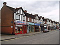
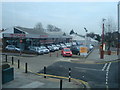
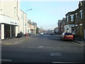
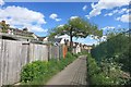
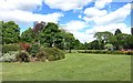
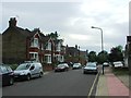
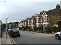
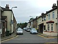
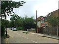
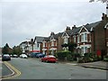
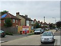
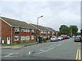
76 photos from this area
Area Information
Key information about the DA14 4QP including its size, population, and administrative classification.
- Area Type
- Postcode
- Area Size
- 1.4 hectares
- Population
- 1871
- Population Density
- 6034 people/km²
House Prices in DA14 4QP
24
Properties
£583,638
Average Sold Price
£64,500
Lowest Price
£1,250,000
Highest Price
Showing 24 properties
| Address | Type | Beds | Baths | Last Sale Price | Last Sale Date | |
|---|---|---|---|---|---|---|
| 5 Selborne Road, Sidcup, DA14 4QP | Detached | 5 | 2 | £1,175,000 | Mar 2025 | |
| 13 Selborne Road, Sidcup, DA14 4QP | Semi-detached | 5 | 2 | £945,000 | Dec 2024 | |
| 17 Selborne Road, Sidcup, DA14 4QP | house | - | - | £1,250,000 | Sep 2024 | |
| 11 Selborne Road, Sidcup, DA14 4QP | Semi-detached | 5 | 2 | £866,350 | Nov 2018 | |
| 35 Selborne Road, Sidcup, DA14 4QP | Detached | 5 | 2 | £975,000 | Nov 2018 | |
| 21 Selborne Road, Sidcup, DA14 4QP | house | - | - | £880,000 | Dec 2017 | |
| 29 Selborne Road, Sidcup, DA14 4QP | Detached | 6 | 3 | £745,000 | Mar 2014 | |
| 31 Selborne Road, Sidcup, DA14 4QP | Detached | 6 | 2 | £712,000 | Jan 2014 | |
| 1B Selborne Road, Sidcup, DA14 4QP | Semi-detached | 1 | 4 | £319,995 | Feb 2013 | |
| 19 Selborne Road, Sidcup, DA14 4QP | Semi-detached | - | - | £570,000 | Oct 2007 |
Page 1 of 3
Energy Efficiency in DA14 4QP
Amenities
Schools
| Rank | School | Type | Entry gender | Ages |
|---|
Explore more schools in this area
Go to Schools tabDemographics
Household Size
One person
most common
Accommodation Type
Flats
most common
Tenure
62
majority
Ethnic Group
White
most common
Religion
N/A
most common
Household Composition
N/A
most common
Age
47
median
Adults (30-64 years)
most common
Household Deprivation
N/A
with no deprivation
NS-SEC
38
in Lower managerial occupations
Explore more demographic insights in this area
Go to Demographics tabPlanning
Planning Constraints
- Flood RiskPremium
- Ramsar Wetland SitesPremium
- Area of Outstanding Natural BeautyPremium
- Protected Nature ReservePremium
- Protected WoodlandPremium