Area Overview for DA14 4AJ
Photos of DA14 4AJ
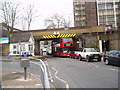
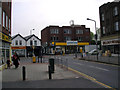
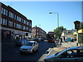

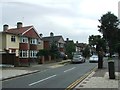
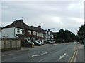
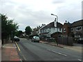
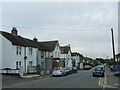
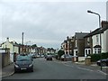
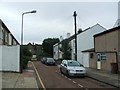
91 photos from this area
Area Information
Key information about the DA14 4AJ including its size, population, and administrative classification.
- Area Type
- Postcode
- Area Size
- 5176 m²
- Population
- 2175
- Population Density
- 7306 people/km²
House Prices in DA14 4AJ
31
Properties
£297,286
Average Sold Price
£125,000
Lowest Price
£670,000
Highest Price
Showing 31 properties
| Address | Type | Beds | Baths | Last Sale Price | Last Sale Date | |
|---|---|---|---|---|---|---|
| 66 Hatherley Road, Sidcup, DA14 4AJ | Terraced | 6 | 2 | £670,000 | Sep 2019 | |
| 82 Hatherley Road, Sidcup, DA14 4AJ | Terraced | 2 | 1 | £330,000 | Jul 2015 | |
| 58 Hatherley Road, Sidcup, DA14 4AJ | Maisonette | 2 | - | £218,000 | Nov 2014 | |
| 78A Hatherley Road, Sidcup, DA14 4AJ | retail_financial | - | - | £125,000 | May 2012 | |
| 56 Hatherley Road, Sidcup, DA14 4AJ | Maisonette | - | - | £177,500 | Dec 2006 | |
| 68 Hatherley Road, Sidcup, DA14 4AJ | house | 4 | - | £412,500 | Jul 2006 | |
| 60 Hatherley Road, Sidcup, DA14 4AJ | Maisonette | 2 | 1 | £148,000 | Feb 2004 | |
| 56B Hatherley Road, Sidcup, DA14 4AJ | Maisonette | 2 | 1 | - | - | |
| 58B Hatherley Road, Sidcup, DA14 4AJ | Maisonette | 3 | 1 | - | - | |
| 56A Hatherley Road, Sidcup, DA14 4AJ | Flat | 1 | - | - | - |
Page 1 of 4
Energy Efficiency in DA14 4AJ
Amenities
Schools
| Rank | School | Type | Entry gender | Ages |
|---|
Explore more schools in this area
Go to Schools tabDemographics
Household Size
One person
most common
Accommodation Type
Flats
most common
Tenure
55
majority
Ethnic Group
White
most common
Religion
N/A
most common
Household Composition
N/A
most common
Age
47
median
Adults (30-64 years)
most common
Household Deprivation
N/A
with no deprivation
NS-SEC
37
in Lower managerial occupations
Explore more demographic insights in this area
Go to Demographics tabPlanning
Planning Constraints
- Flood RiskPremium
- Ramsar Wetland SitesPremium
- Area of Outstanding Natural BeautyPremium
- Protected Nature ReservePremium
- Protected WoodlandPremium