Area Overview for Cranbrook Ward
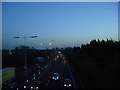
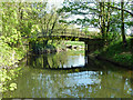
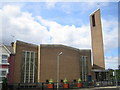
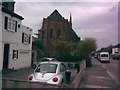
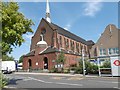
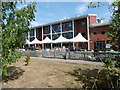
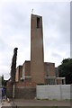
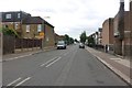
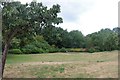
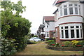
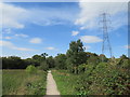
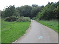
Photos of Cranbrook Ward
Area Information
Cranbrook Ward is a compact district within the borough, covering just 1.5 square kilometres. Although small, the area contains a population of 3,109 residents, resulting in a density of 2,085 people per square kilometre. This concentration means you will encounter neighbours regularly, creating an environment where community interactions are common. Living in Cranbrook Ward offers a specific character defined by its size and resident density rather than sprawling expansion. The ward represents a settled locality where daily life is shaped by proximity to the surrounding built-up areas of Lewisham. You can expect a neighbourhood that is fully formed with established routines. The limited geographical footprint means that distance is rarely a barrier to accessing local amenities or other parts of the borough. Because the area is so defined, the sense of place is strong. When you move to Cranbrook Ward, you enter a space where the layout is fixed and the community is tight-knit. This small scale allows for direct familiarity with the area without the disorientation of larger, anonymous districts nearby.
- Area Type
- District Borough Unitary Ward
- Area Size
- 1.5 km²
- Population
- 3109
- Population Density
- 2085 people/km²
Demographics
The community living in Cranbrook Ward has a notably older population structure. The median age of residents is 70 years old, indicating that the majority of the population falls into senior age brackets. This demographic profile suggests an area where daily life revolves around the needs and rhythms of older adults. You will likely find that the local services cater primarily to this age group, from healthcare access to community support. The household composition reflects this reality, with census data placing the total household figures under the umbrella of the dominant senior demographic. There is no data provided on specific household types such as family or single-person households, so the overall picture remains defined by age rather than family structure. Ethnic diversity and specific religious compositions are not detailed in the available records for this ward. Home ownership stands at 66 per cent, meaning roughly two-thirds of the housing stock is owned outright or with a mortgage by residents rather than rented. This high rate of ownership typically points to long-term settlement and stability within Cranbrook Ward.
Household Size
Accommodation Type
Tenure
Ethnic Group
Religion
Household Composition
Age
Household Deprivation
NS-SEC
Explore more demographic insights in this area
Go to Demographics tabPlanning
Planning Constraints
- Flood RiskPremium
- Ramsar Wetland SitesPremium
- Area of Outstanding Natural BeautyPremium
- Protected Nature ReservePremium
- Protected WoodlandPremium
- Crime RiskPremium