Area Overview for CR7 8PP
Photos of CR7 8PP
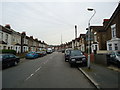
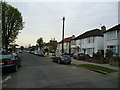
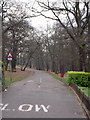
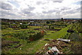
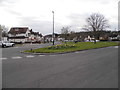
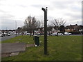
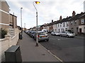
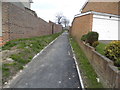
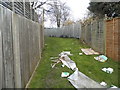
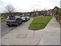
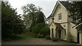
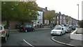
93 photos from this area
Area Information
Key information about the CR7 8PP including its size, population, and administrative classification.
- Area Type
- Postcode
- Area Size
- 4423 m²
- Population
- 1762
- Population Density
- 12386 people/km²
House Prices in CR7 8PP
24
Properties
£223,105
Average Sold Price
£56,500
Lowest Price
£510,000
Highest Price
Showing 24 properties
| Address | Type | Beds | Baths | Last Sale Price | Last Sale Date | |
|---|---|---|---|---|---|---|
| 20 Cranbrook Road, Thornton Heath, CR7 8PP | Terraced | 2 | 1 | £420,000 | Aug 2025 | |
| 4 Cranbrook Road, Thornton Heath, CR7 8PP | Terraced | 2 | 1 | £310,000 | Oct 2021 | |
| 14 Cranbrook Road, Thornton Heath, CR7 8PP | Terraced | 3 | 2 | £510,000 | Aug 2021 | |
| 12 Cranbrook Road, Thornton Heath, CR7 8PP | house | 5 | 3 | £290,000 | Dec 2017 | |
| 48 Cranbrook Road, Thornton Heath, CR7 8PP | Terraced | 3 | 1 | £369,000 | Aug 2017 | |
| 10 Cranbrook Road, Thornton Heath, CR7 8PP | Terraced | 2 | 1 | £171,493 | Jun 2016 | |
| 22 Cranbrook Road, Thornton Heath, CR7 8PP | house | 2 | - | £268,000 | Jun 2014 | |
| 50 Cranbrook Road, Thornton Heath, CR7 8PP | Terraced | 3 | 1 | £245,000 | Jun 2014 | |
| 56 Cranbrook Road, Thornton Heath, CR7 8PP | Semi-detached | 2 | - | £200,000 | Feb 2010 | |
| 18 Cranbrook Road, Thornton Heath, CR7 8PP | house | - | - | £199,000 | May 2008 |
Page 1 of 3
Energy Efficiency in CR7 8PP
Amenities
Schools
| Rank | School | Type | Entry gender | Ages |
|---|
Explore more schools in this area
Go to Schools tabDemographics
Household Size
Family (3-5 people)
most common
Accommodation Type
Houses
most common
Tenure
64
majority
Ethnic Group
black_total
most common
Religion
N/A
most common
Household Composition
N/A
most common
Age
47
median
Adults (30-64 years)
most common
Household Deprivation
N/A
with no deprivation
NS-SEC
31
in Lower managerial occupations
Explore more demographic insights in this area
Go to Demographics tabPlanning
Planning Constraints
- Flood RiskPremium
- Ramsar Wetland SitesPremium
- Area of Outstanding Natural BeautyPremium
- Protected Nature ReservePremium
- Protected WoodlandPremium