Area Overview for CR7 8NU
Photos of CR7 8NU
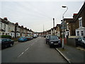
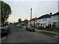
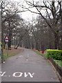
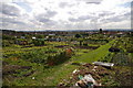
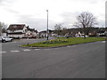
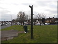
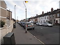
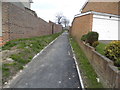
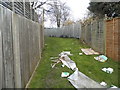
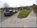
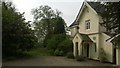
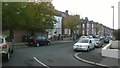
93 photos from this area
Area Information
Key information about the CR7 8NU including its size, population, and administrative classification.
- Area Type
- Postcode
- Area Size
- 2668 m²
- Population
- 1587
- Population Density
- 11577 people/km²
House Prices in CR7 8NU
26
Properties
£165,424
Average Sold Price
£2,000
Lowest Price
£290,000
Highest Price
Showing 26 properties
| Address | Type | Beds | Baths | Last Sale Price | Last Sale Date | |
|---|---|---|---|---|---|---|
| 179 Mersham Road, Thornton Heath, CR7 8NU | Maisonette | 2 | 1 | £290,000 | Feb 2021 | |
| 181 Mersham Road, Thornton Heath, CR7 8NU | Maisonette | - | - | £289,000 | Feb 2021 | |
| 199 Mersham Road, Thornton Heath, CR7 8NU | Flat | 3 | - | £280,000 | Oct 2020 | |
| 211 Mersham Road, Thornton Heath, CR7 8NU | Flat | 2 | 1 | £280,000 | Oct 2019 | |
| 201 Mersham Road, Thornton Heath, CR7 8NU | Flat | 3 | - | £265,000 | Feb 2017 | |
| 213 Mersham Road, Thornton Heath, CR7 8NU | Flat | 2 | 1 | £250,000 | Aug 2015 | |
| 207 Mersham Road, Thornton Heath, CR7 8NU | Flat | - | - | £195,950 | Jan 2014 | |
| 197 Mersham Road, Thornton Heath, CR7 8NU | Flat | - | - | £170,000 | Nov 2011 | |
| 221 Mersham Road, Thornton Heath, CR7 8NU | Flat | - | - | £120,000 | Mar 2010 | |
| 175 Mersham Road, Thornton Heath, CR7 8NU | Maisonette | 2 | - | £2,000 | Jul 2008 |
Page 1 of 3
Energy Efficiency in CR7 8NU
Amenities
Schools
| Rank | School | Type | Entry gender | Ages |
|---|
Explore more schools in this area
Go to Schools tabDemographics
Household Size
Family (3-5 people)
most common
Accommodation Type
Houses
most common
Tenure
64
majority
Ethnic Group
black_total
most common
Religion
N/A
most common
Household Composition
N/A
most common
Age
47
median
Adults (30-64 years)
most common
Household Deprivation
N/A
with no deprivation
NS-SEC
37
in Lower managerial occupations
Explore more demographic insights in this area
Go to Demographics tabPlanning
Planning Constraints
- Flood RiskPremium
- Ramsar Wetland SitesPremium
- Area of Outstanding Natural BeautyPremium
- Protected Nature ReservePremium
- Protected WoodlandPremium