Area Overview for CR7 8NL
Photos of CR7 8NL
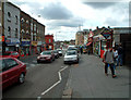
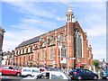
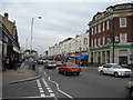
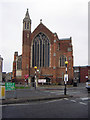
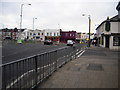
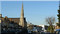
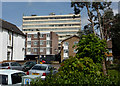
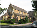
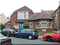
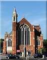
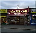
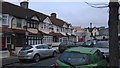
100 photos from this area
Area Information
Key information about the CR7 8NL including its size, population, and administrative classification.
- Area Type
- Postcode
- Area Size
- 5507 m²
- Population
- Not available
- Population Density
- Not available
House Prices in CR7 8NL
26
Properties
£274,353
Average Sold Price
£64,000
Lowest Price
£542,000
Highest Price
Showing 26 properties
| Address | Type | Beds | Baths | Last Sale Price | Last Sale Date | |
|---|---|---|---|---|---|---|
| 24 Hamilton Road, Thornton Heath, CR7 8NL | Terraced | 3 | 1 | £498,000 | Feb 2025 | |
| 22 Hamilton Road, Thornton Heath, CR7 8NL | Terraced | 4 | - | £542,000 | Oct 2023 | |
| 18 Hamilton Road, Thornton Heath, CR7 8NL | Detached | 3 | 1 | £485,000 | Sep 2023 | |
| 42 Hamilton Road, Thornton Heath, CR7 8NL | house | - | - | £385,000 | Dec 2021 | |
| 44 Hamilton Road, Thornton Heath, CR7 8NL | Terraced | 3 | 1 | £305,000 | Jan 2020 | |
| 48 Hamilton Road, Thornton Heath, CR7 8NL | Terraced | 3 | 1 | £357,000 | Oct 2018 | |
| 10 Hamilton Road, Thornton Heath, CR7 8NL | Terraced | 3 | 1 | £455,000 | Apr 2017 | |
| 12 Hamilton Road, Thornton Heath, CR7 8NL | house | - | - | £275,000 | Dec 2013 | |
| 4 Hamilton Road, Thornton Heath, CR7 8NL | Terraced | - | - | £230,000 | Feb 2008 | |
| 8 Hamilton Road, Thornton Heath, CR7 8NL | Terraced | - | - | £235,000 | Apr 2007 |
Page 1 of 3
Energy Efficiency in CR7 8NL
Amenities
Schools
| Rank | School | Type | Entry gender | Ages |
|---|
Explore more schools in this area
Go to Schools tabDemographics
Household Size
Family (3-5 people)
most common
Accommodation Type
Houses
most common
Tenure
69
majority
Ethnic Group
black_total
most common
Religion
N/A
most common
Household Composition
N/A
most common
Age
47
median
Adults (30-64 years)
most common
Household Deprivation
N/A
with no deprivation
NS-SEC
31
in Lower managerial occupations
Explore more demographic insights in this area
Go to Demographics tabPlanning
Planning Constraints
- Flood RiskPremium
- Ramsar Wetland SitesPremium
- Area of Outstanding Natural BeautyPremium
- Protected Nature ReservePremium
- Protected WoodlandPremium