Area Overview for CR7 8NG
Photos of CR7 8NG
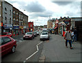

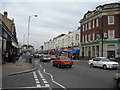
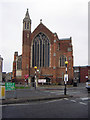
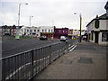
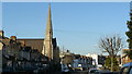
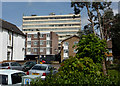
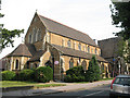
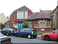


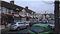
100 photos from this area
Area Information
Key information about the CR7 8NG including its size, population, and administrative classification.
- Area Type
- Postcode
- Area Size
- 7321 m²
- Population
- 2062
- Population Density
- 11981 people/km²
House Prices in CR7 8NG
33
Properties
£271,210
Average Sold Price
£65,000
Lowest Price
£495,000
Highest Price
Showing 33 properties
| Address | Type | Beds | Baths | Last Sale Price | Last Sale Date | |
|---|---|---|---|---|---|---|
| 54 Furze Road, Thornton Heath, CR7 8NG | Terraced | 2 | 1 | £350,000 | Sep 2025 | |
| 30 Furze Road, Thornton Heath, CR7 8NG | Semi-detached | 2 | 2 | £398,000 | Aug 2022 | |
| 18 Furze Road, Thornton Heath, CR7 8NG | Semi-detached | 2 | 1 | £450,000 | Dec 2019 | |
| 62 Furze Road, Thornton Heath, CR7 8NG | Terraced | 3 | 1 | £410,000 | Sep 2019 | |
| 28 Furze Road, Thornton Heath, CR7 8NG | Terraced | 3 | - | £390,000 | Dec 2017 | |
| 12 Furze Road, Thornton Heath, CR7 8NG | Cottage | 2 | - | £340,000 | Aug 2017 | |
| 40 Furze Road, Thornton Heath, CR7 8NG | house | 5 | - | £495,000 | Nov 2015 | |
| 38 Furze Road, Thornton Heath, CR7 8NG | house | 4 | - | £316,300 | Nov 2014 | |
| 24 Furze Road, Thornton Heath, CR7 8NG | Terraced | 2 | 1 | £248,950 | Sep 2014 | |
| 2 Furze Road, Thornton Heath, CR7 8NG | Terraced | 4 | 2 | £308,000 | Jul 2014 |
Page 1 of 4
Energy Efficiency in CR7 8NG
Amenities
Schools
| Rank | School | Type | Entry gender | Ages |
|---|
Explore more schools in this area
Go to Schools tabDemographics
Household Size
Family (3-5 people)
most common
Accommodation Type
Flats
most common
Tenure
38
majority
Ethnic Group
black_total
most common
Religion
N/A
most common
Household Composition
N/A
most common
Age
47
median
Adults (30-64 years)
most common
Household Deprivation
N/A
with no deprivation
NS-SEC
20
in Lower managerial occupations
Explore more demographic insights in this area
Go to Demographics tabPlanning
Planning Constraints
- Flood RiskPremium
- Ramsar Wetland SitesPremium
- Area of Outstanding Natural BeautyPremium
- Protected Nature ReservePremium
- Protected WoodlandPremium