Area Overview for CR7 7PA
Photos of CR7 7PA


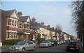
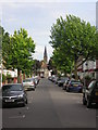
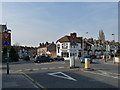
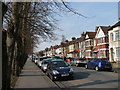
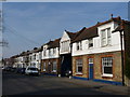
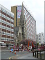
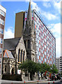
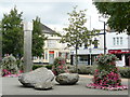
90 photos from this area
Area Information
Key information about the CR7 7PA including its size, population, and administrative classification.
- Area Type
- Postcode
- Area Size
- 5863 m²
- Population
- 1821
- Population Density
- 13479 people/km²
House Prices in CR7 7PA
56
Properties
£233,258
Average Sold Price
£2,500
Lowest Price
£430,150
Highest Price
Showing 56 properties
| Address | Type | Beds | Baths | Last Sale Price | Last Sale Date | |
|---|---|---|---|---|---|---|
| 810A London Road, Thornton Heath, CR7 7PA | Maisonette | 1 | - | £239,926 | May 2023 | |
| 844A London Road, Thornton Heath, CR7 7PA | Maisonette | - | - | £5,000 | Jun 2020 | |
| 846A London Road, Thornton Heath, CR7 7PA | Flat | - | - | £2,500 | May 2020 | |
| 812A London Road, Thornton Heath, CR7 7PA | Retail | - | - | £430,150 | May 2018 | |
| 826A London Road, Thornton Heath, CR7 7PA | Flat | - | - | £245,000 | Dec 2015 | |
| 838A London Road, Thornton Heath, CR7 7PA | Retail | 1 | 1 | £340,000 | Mar 2015 | |
| 840A London Road, Thornton Heath, CR7 7PA | Maisonette | - | - | £381,000 | Aug 2007 | |
| 850A London Road, Thornton Heath, CR7 7PA | Maisonette | - | - | £380,000 | May 2006 | |
| 834A London Road, Thornton Heath, CR7 7PA | Flat | 4 | 1 | £249,000 | Dec 2005 | |
| 852A London Road, Thornton Heath, CR7 7PA | Flat | - | - | £60,000 | May 1996 |
Page 1 of 6
Energy Efficiency in CR7 7PA
Amenities
Schools
| Rank | School | Type | Entry gender | Ages |
|---|
Explore more schools in this area
Go to Schools tabDemographics
Household Size
Family (3-5 people)
most common
Accommodation Type
Houses
most common
Tenure
43
majority
Ethnic Group
asian_total
most common
Religion
N/A
most common
Household Composition
N/A
most common
Age
47
median
Adults (30-64 years)
most common
Household Deprivation
N/A
with no deprivation
NS-SEC
24
in Lower managerial occupations
Explore more demographic insights in this area
Go to Demographics tabPlanning
Planning Constraints
- Flood RiskPremium
- Ramsar Wetland SitesPremium
- Area of Outstanding Natural BeautyPremium
- Protected Nature ReservePremium
- Protected WoodlandPremium