Area Overview for CR5 1DN
Photos of CR5 1DN
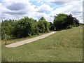
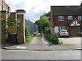
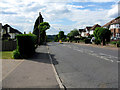
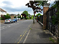
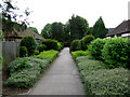

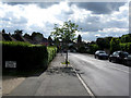
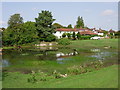

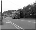
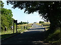
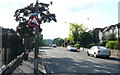
48 photos from this area
Area Information
Key information about the CR5 1DN including its size, population, and administrative classification.
- Area Type
- Postcode
- Area Size
- 3.9 hectares
- Population
- 1357
- Population Density
- 664 people/km²
House Prices in CR5 1DN
25
Properties
£446,732
Average Sold Price
£96,500
Lowest Price
£735,000
Highest Price
Showing 25 properties
| Address | Type | Beds | Baths | Last Sale Price | Last Sale Date | |
|---|---|---|---|---|---|---|
| 97 Chaldon Way, Coulsdon, CR5 1DN | house | - | - | £535,000 | Mar 2025 | |
| 103 Chaldon Way, Coulsdon, CR5 1DN | Semi-detached | 3 | 1 | £557,000 | Feb 2024 | |
| 87 Chaldon Way, Coulsdon, CR5 1DN | house | 3 | 3 | £735,000 | Oct 2022 | |
| 91 Chaldon Way, Coulsdon, CR5 1DN | house | - | - | £651,000 | Jan 2021 | |
| 109 Chaldon Way, Coulsdon, CR5 1DN | Detached | 3 | 1 | £555,000 | Nov 2020 | |
| 105 Chaldon Way, Coulsdon, CR5 1DN | Semi-detached | 4 | 2 | £595,000 | Aug 2020 | |
| 121 Chaldon Way, Coulsdon, CR5 1DN | Semi-detached | 3 | 2 | £463,000 | Jan 2020 | |
| 115 Chaldon Way, Coulsdon, CR5 1DN | Detached | 3 | - | £425,000 | Aug 2014 | |
| 119 Chaldon Way, Coulsdon, CR5 1DN | Semi-detached | 3 | - | £375,000 | Nov 2013 | |
| 111 Chaldon Way, Coulsdon, CR5 1DN | house | - | - | £305,017 | Dec 2009 |
Page 1 of 3
Energy Efficiency in CR5 1DN
Amenities
Schools
| Rank | School | Type | Entry gender | Ages |
|---|
Explore more schools in this area
Go to Schools tabDemographics
Household Size
Family (3-5 people)
most common
Accommodation Type
Houses
most common
Tenure
46
majority
Ethnic Group
White
most common
Religion
N/A
most common
Household Composition
N/A
most common
Age
47
median
Adults (30-64 years)
most common
Household Deprivation
N/A
with no deprivation
NS-SEC
25
in Lower managerial occupations
Explore more demographic insights in this area
Go to Demographics tabPlanning
Planning Constraints
- Flood RiskPremium
- Ramsar Wetland SitesPremium
- Area of Outstanding Natural BeautyPremium
- Protected Nature ReservePremium
- Protected WoodlandPremium