Area Overview for CR4 4LZ
Photos of CR4 4LZ
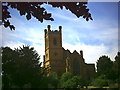
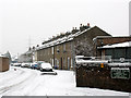
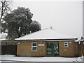
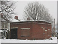
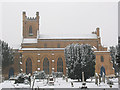
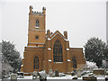
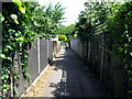
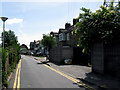
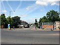
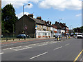
100 photos from this area
Area Information
Key information about the CR4 4LZ including its size, population, and administrative classification.
- Area Type
- Postcode
- Area Size
- 1.2 hectares
- Population
- 1779
- Population Density
- 973 people/km²
House Prices in CR4 4LZ
34
Properties
£331,852
Average Sold Price
£99,000
Lowest Price
£585,000
Highest Price
Showing 34 properties
| Address | Type | Beds | Baths | Last Sale Price | Last Sale Date | |
|---|---|---|---|---|---|---|
| 27 Denham Crescent, Mitcham, CR4 4LZ | Detached | 3 | - | £560,000 | May 2025 | |
| 35 Denham Crescent, Mitcham, CR4 4LZ | Semi-detached | 3 | 1 | £550,000 | Feb 2023 | |
| 53 Denham Crescent, Mitcham, CR4 4LZ | house | - | - | £400,000 | Nov 2022 | |
| 25 Denham Crescent, Mitcham, CR4 4LZ | house | 4 | 2 | £510,000 | Sep 2022 | |
| 33 Denham Crescent, Mitcham, CR4 4LZ | house | - | - | £483,000 | Mar 2022 | |
| 37 Denham Crescent, Mitcham, CR4 4LZ | house | - | - | £465,000 | May 2021 | |
| 21 Denham Crescent, Mitcham, CR4 4LZ | house | 5 | - | £585,000 | Feb 2021 | |
| 63 Denham Crescent, Mitcham, CR4 4LZ | house | 2 | - | £370,000 | Jan 2021 | |
| 7 Denham Crescent, Mitcham, CR4 4LZ | Terraced | 3 | 1 | £415,000 | Sep 2018 | |
| 61 Denham Crescent, Mitcham, CR4 4LZ | house | 2 | - | £322,500 | Feb 2017 |
Page 1 of 4
Energy Efficiency in CR4 4LZ
Amenities
Schools
| Rank | School | Type | Entry gender | Ages |
|---|
Explore more schools in this area
Go to Schools tabDemographics
Household Size
Family (3-5 people)
most common
Accommodation Type
Houses
most common
Tenure
50
majority
Ethnic Group
White
most common
Religion
N/A
most common
Household Composition
N/A
most common
Age
47
median
Adults (30-64 years)
most common
Household Deprivation
N/A
with no deprivation
NS-SEC
28
in Lower managerial occupations
Explore more demographic insights in this area
Go to Demographics tabPlanning
Planning Constraints
- Flood RiskPremium
- Ramsar Wetland SitesPremium
- Area of Outstanding Natural BeautyPremium
- Protected Nature ReservePremium
- Protected WoodlandPremium