Area Overview for CR4 3NG
Photos of CR4 3NG

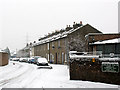
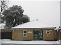


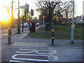
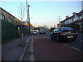
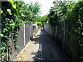
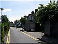
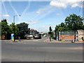
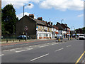
100 photos from this area
Area Information
Key information about the CR4 3NG including its size, population, and administrative classification.
- Area Type
- Postcode
- Area Size
- 5980 m²
- Population
- Not available
- Population Density
- Not available
House Prices in CR4 3NG
26
Properties
£203,495
Average Sold Price
£53,000
Lowest Price
£265,000
Highest Price
Showing 26 properties
| Address | Type | Beds | Baths | Last Sale Price | Last Sale Date | |
|---|---|---|---|---|---|---|
| 99, Glebe Court, London Road, Mitcham, CR4 3NG | Flat | - | - | £265,000 | Jun 2024 | |
| 89, Glebe Court, London Road, Mitcham, CR4 3NG | Flat | - | - | £260,000 | Aug 2023 | |
| 85, Glebe Court, London Road, Mitcham, CR4 3NG | Retail | 2 | 1 | £265,000 | Mar 2022 | |
| 96, Glebe Court, London Road, Mitcham, CR4 3NG | Flat | 3 | 1 | £245,000 | Jan 2021 | |
| 88, Glebe Court, London Road, Mitcham, CR4 3NG | Flat | - | - | £265,000 | Mar 2016 | |
| 83, Glebe Court, London Road, Mitcham, CR4 3NG | Flat | - | - | £219,500 | Apr 2015 | |
| 92, Glebe Court, London Road, Mitcham, CR4 3NG | Flat | - | - | £175,000 | Aug 2013 | |
| 91, Glebe Court, London Road, Mitcham, CR4 3NG | Flat | - | - | £139,950 | Feb 2006 | |
| 98, Glebe Court, London Road, Mitcham, CR4 3NG | Flat | - | - | £147,500 | Nov 2005 | |
| 94, Glebe Court, London Road, Mitcham, CR4 3NG | Flat | - | - | £53,000 | May 1999 |
Page 1 of 3
Energy Efficiency in CR4 3NG
Amenities
Schools
| Rank | School | Type | Entry gender | Ages |
|---|
Explore more schools in this area
Go to Schools tabDemographics
Household Size
Family (3-5 people)
most common
Accommodation Type
Flats
most common
Tenure
31
majority
Ethnic Group
White
most common
Religion
N/A
most common
Household Composition
N/A
most common
Age
47
median
Adults (30-64 years)
most common
Household Deprivation
N/A
with no deprivation
NS-SEC
20
in Lower managerial occupations
Explore more demographic insights in this area
Go to Demographics tabPlanning
Planning Constraints
- Flood RiskPremium
- Ramsar Wetland SitesPremium
- Area of Outstanding Natural BeautyPremium
- Protected Nature ReservePremium
- Protected WoodlandPremium