Area Overview for CR4 2NL
Photos of CR4 2NL
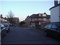
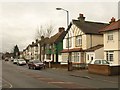
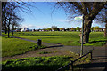
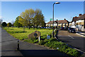
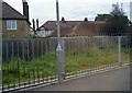
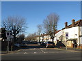
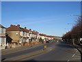
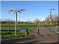
52 photos from this area
Area Information
Key information about the CR4 2NL including its size, population, and administrative classification.
- Area Type
- Postcode
- Area Size
- 3565 m²
- Population
- Not available
- Population Density
- Not available
House Prices in CR4 2NL
19
Properties
£150,361
Average Sold Price
£49,500
Lowest Price
£300,000
Highest Price
Showing 19 properties
| Address | Type | Beds | Baths | Last Sale Price | Last Sale Date | |
|---|---|---|---|---|---|---|
| 5 Summerhill Way, Mitcham, CR4 2NL | Flat | - | - | £300,000 | Nov 2019 | |
| 35 Summerhill Way, Mitcham, CR4 2NL | Flat | - | - | £257,305 | May 2018 | |
| 21 Summerhill Way, Mitcham, CR4 2NL | Flat | - | - | £251,000 | Jan 2016 | |
| 19 Summerhill Way, Mitcham, CR4 2NL | Flat | - | - | £198,000 | Sep 2015 | |
| 17 Summerhill Way, Mitcham, CR4 2NL | Flat | 1 | 1 | £160,000 | Nov 2014 | |
| 25 Summerhill Way, Mitcham, CR4 2NL | Flat | 1 | 1 | £160,000 | Jul 2014 | |
| 33 Summerhill Way, Mitcham, CR4 2NL | Flat | 2 | - | £185,000 | Nov 2007 | |
| 29 Summerhill Way, Mitcham, CR4 2NL | Flat | - | - | £190,000 | Sep 2007 | |
| 11 Summerhill Way, Mitcham, CR4 2NL | Flat | 2 | 1 | £120,000 | Dec 2005 | |
| 1 Summerhill Way, Mitcham, CR4 2NL | Flat | - | - | £150,000 | Sep 2005 |
Page 1 of 2
Energy Efficiency in CR4 2NL
Amenities
Schools
| Rank | School | Type | Entry gender | Ages |
|---|
Explore more schools in this area
Go to Schools tabDemographics
Household Size
Family (3-5 people)
most common
Accommodation Type
Houses
most common
Tenure
57
majority
Ethnic Group
White
most common
Religion
N/A
most common
Household Composition
N/A
most common
Age
47
median
Adults (30-64 years)
most common
Household Deprivation
N/A
with no deprivation
NS-SEC
32
in Lower managerial occupations
Explore more demographic insights in this area
Go to Demographics tabPlanning
Planning Constraints
- Flood RiskPremium
- Ramsar Wetland SitesPremium
- Area of Outstanding Natural BeautyPremium
- Protected Nature ReservePremium
- Protected WoodlandPremium