Area Overview for CR4 2LW
Photos of CR4 2LW
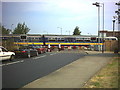
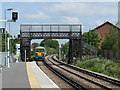
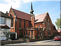
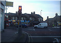
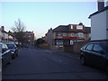
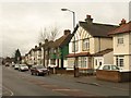
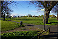
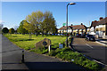
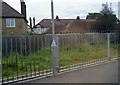
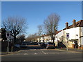
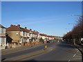
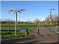
52 photos from this area
Area Information
Key information about the CR4 2LW including its size, population, and administrative classification.
- Area Type
- Postcode
- Area Size
- 6625 m²
- Population
- 2085
- Population Density
- 8968 people/km²
House Prices in CR4 2LW
23
Properties
£275,433
Average Sold Price
£87,500
Lowest Price
£512,500
Highest Price
Showing 23 properties
| Address | Type | Beds | Baths | Last Sale Price | Last Sale Date | |
|---|---|---|---|---|---|---|
| 88 Lammas Avenue, Mitcham, CR4 2LW | Flat | 1 | 1 | £475,000 | Apr 2022 | |
| 78 Lammas Avenue, Mitcham, CR4 2LW | Terraced | 5 | 2 | £512,500 | Mar 2020 | |
| 80 Lammas Avenue, Mitcham, CR4 2LW | Terraced | 3 | - | £410,000 | Jan 2017 | |
| 84 Lammas Avenue, Mitcham, CR4 2LW | Semi-detached | 3 | - | £375,000 | Jun 2015 | |
| 70 Lammas Avenue, Mitcham, CR4 2LW | Terraced | 4 | 3 | £230,000 | Jul 2011 | |
| 54 Lammas Avenue, Mitcham, CR4 2LW | Flat | - | - | £315,000 | Nov 2007 | |
| 86 Lammas Avenue, Mitcham, CR4 2LW | Detached | 4 | 1 | £245,000 | Nov 2007 | |
| 94 Lammas Avenue, Mitcham, CR4 2LW | Terraced | - | - | £241,000 | Aug 2007 | |
| 90 Lammas Avenue, Mitcham, CR4 2LW | Terraced | - | - | £230,000 | May 2006 | |
| 58 Lammas Avenue, Mitcham, CR4 2LW | Terraced | - | - | £228,000 | May 2006 |
Page 1 of 3
Energy Efficiency in CR4 2LW
Amenities
Schools
| Rank | School | Type | Entry gender | Ages |
|---|
Explore more schools in this area
Go to Schools tabDemographics
Household Size
Family (3-5 people)
most common
Accommodation Type
Flats
most common
Tenure
49
majority
Ethnic Group
White
most common
Religion
N/A
most common
Household Composition
N/A
most common
Age
47
median
Adults (30-64 years)
most common
Household Deprivation
N/A
with no deprivation
NS-SEC
28
in Lower managerial occupations
Explore more demographic insights in this area
Go to Demographics tabPlanning
Planning Constraints
- Flood RiskPremium
- Ramsar Wetland SitesPremium
- Area of Outstanding Natural BeautyPremium
- Protected Nature ReservePremium
- Protected WoodlandPremium