Area Overview for CR4 1NU
Photos of CR4 1NU
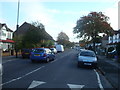
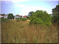
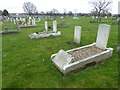
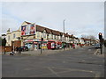
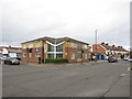
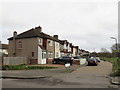
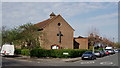
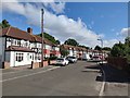
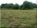
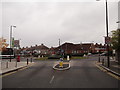
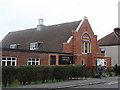
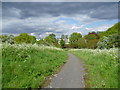
57 photos from this area
Area Information
Key information about the CR4 1NU including its size, population, and administrative classification.
- Area Type
- Postcode
- Area Size
- 5602 m²
- Population
- 1545
- Population Density
- 8699 people/km²
House Prices in CR4 1NU
19
Properties
£299,592
Average Sold Price
£94,000
Lowest Price
£495,000
Highest Price
Showing 19 properties
| Address | Type | Beds | Baths | Last Sale Price | Last Sale Date | |
|---|---|---|---|---|---|---|
| 14 Hadley Road, Mitcham, CR4 1NU | Terraced | 3 | 2 | £495,000 | Oct 2025 | |
| 34 Hadley Road, Mitcham, CR4 1NU | house | - | - | £460,000 | Mar 2021 | |
| 26 Hadley Road, Mitcham, CR4 1NU | Terraced | 4 | 1 | £457,500 | Sep 2019 | |
| 36 Hadley Road, Mitcham, CR4 1NU | Terraced | 3 | 1 | £385,000 | Mar 2019 | |
| 28 Hadley Road, Mitcham, CR4 1NU | Terraced | 3 | 1 | £395,000 | Sep 2018 | |
| 6 Hadley Road, Mitcham, CR4 1NU | Terraced | - | - | £220,000 | Feb 2010 | |
| 30 Hadley Road, Mitcham, CR4 1NU | house | - | - | £234,600 | Oct 2009 | |
| 8 Hadley Road, Mitcham, CR4 1NU | Terraced | - | - | £220,000 | Jul 2006 | |
| 18 Hadley Road, Mitcham, CR4 1NU | Terraced | - | - | £228,000 | Sep 2005 | |
| 32 Hadley Road, Mitcham, CR4 1NU | Terraced | 3 | 1 | £218,000 | Apr 2005 |
Page 1 of 2
Energy Efficiency in CR4 1NU
Amenities
Schools
| Rank | School | Type | Entry gender | Ages |
|---|
Explore more schools in this area
Go to Schools tabDemographics
Household Size
Family (3-5 people)
most common
Accommodation Type
Houses
most common
Tenure
76
majority
Ethnic Group
White
most common
Religion
N/A
most common
Household Composition
N/A
most common
Age
47
median
Adults (30-64 years)
most common
Household Deprivation
N/A
with no deprivation
NS-SEC
27
in Lower managerial occupations
Explore more demographic insights in this area
Go to Demographics tabPlanning
Planning Constraints
- Flood RiskPremium
- Ramsar Wetland SitesPremium
- Area of Outstanding Natural BeautyPremium
- Protected Nature ReservePremium
- Protected WoodlandPremium