Area Overview for CR4 1AE
Photos of CR4 1AE
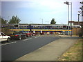
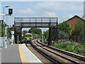
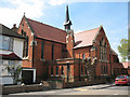
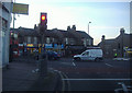
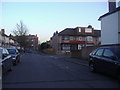
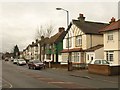
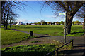
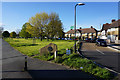
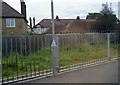
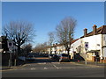
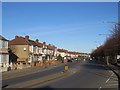
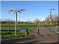
52 photos from this area
Area Information
Key information about the CR4 1AE including its size, population, and administrative classification.
- Area Type
- Postcode
- Area Size
- 6772 m²
- Population
- 1755
- Population Density
- 8417 people/km²
House Prices in CR4 1AE
31
Properties
£272,019
Average Sold Price
£8,500
Lowest Price
£725,000
Highest Price
Showing 31 properties
| Address | Type | Beds | Baths | Last Sale Price | Last Sale Date | |
|---|---|---|---|---|---|---|
| 101 Grove Road, Mitcham, CR4 1AE | Terraced | 4 | 4 | £725,000 | Sep 2025 | |
| 129 Grove Road, Mitcham, CR4 1AE | Terraced | 3 | 1 | £460,000 | Jun 2025 | |
| 157 Grove Road, Mitcham, CR4 1AE | Terraced | 3 | 1 | £470,000 | May 2024 | |
| 107 Grove Road, Mitcham, CR4 1AE | Detached | 3 | 1 | £430,000 | Jun 2023 | |
| 117 Grove Road, Mitcham, CR4 1AE | Terraced | 3 | 1 | £440,000 | Aug 2021 | |
| 155 Grove Road, Mitcham, CR4 1AE | Terraced | 4 | 1 | £495,000 | Jun 2021 | |
| 131 Grove Road, Mitcham, CR4 1AE | Terraced | 4 | 2 | £405,000 | Sep 2019 | |
| 109 Grove Road, Mitcham, CR4 1AE | Flat | - | - | £8,500 | Dec 2017 | |
| 109A Grove Road, Mitcham, CR4 1AE | Maisonette | 2 | - | £310,000 | Nov 2016 | |
| 141 Grove Road, Mitcham, CR4 1AE | Semi-detached | 3 | - | £300,000 | Oct 2013 |
Page 1 of 4
Energy Efficiency in CR4 1AE
Amenities
Schools
| Rank | School | Type | Entry gender | Ages |
|---|
Explore more schools in this area
Go to Schools tabDemographics
Household Size
Family (3-5 people)
most common
Accommodation Type
Houses
most common
Tenure
50
majority
Ethnic Group
White
most common
Religion
N/A
most common
Household Composition
N/A
most common
Age
47
median
Adults (30-64 years)
most common
Household Deprivation
N/A
with no deprivation
NS-SEC
25
in Lower managerial occupations
Explore more demographic insights in this area
Go to Demographics tabPlanning
Planning Constraints
- Flood RiskPremium
- Ramsar Wetland SitesPremium
- Area of Outstanding Natural BeautyPremium
- Protected Nature ReservePremium
- Protected WoodlandPremium