Area Overview for CR2 9HH
Photos of CR2 9HH
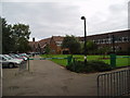
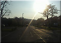
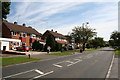
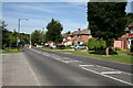
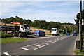
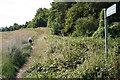
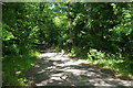
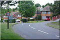
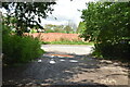
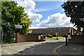
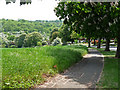
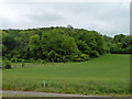
42 photos from this area
Area Information
Key information about the CR2 9HH including its size, population, and administrative classification.
- Area Type
- Postcode
- Area Size
- 9.2 hectares
- Population
- 1674
- Population Density
- 981 people/km²
House Prices in CR2 9HH
11
Properties
£322,000
Average Sold Price
£135,000
Lowest Price
£525,000
Highest Price
Showing 11 properties
| Address | Type | Beds | Baths | Last Sale Price | Last Sale Date | |
|---|---|---|---|---|---|---|
| 62 Mitchley Avenue, South Croydon, CR2 9HH | house | - | - | £525,000 | Apr 2023 | |
| 66 Mitchley Avenue, South Croydon, CR2 9HH | Detached | - | - | £345,000 | Jun 2007 | |
| 72 Mitchley Avenue, South Croydon, CR2 9HH | Detached | 5 | 3 | £415,000 | Apr 2007 | |
| 74 Mitchley Avenue, South Croydon, CR2 9HH | Detached | - | - | £277,000 | Jul 2006 | |
| 70 Mitchley Avenue, South Croydon, CR2 9HH | Detached | - | - | £235,000 | Jan 2001 | |
| 64 Mitchley Avenue, South Croydon, CR2 9HH | Detached | - | - | £135,000 | Mar 1997 | |
| 120 Mitchley Avenue, South Croydon, CR2 9HH | Detached | 5 | 3 | - | - | |
| 118 Mitchley Avenue, South Croydon, CR2 9HH | Detached | 5 | 3 | - | - | |
| 68 Mitchley Avenue, South Croydon, CR2 9HH | Detached | - | - | - | - | |
| 122 Mitchley Avenue, South Croydon, CR2 9HH | Detached | - | - | - | - |
Page 1 of 2
Energy Efficiency in CR2 9HH
Amenities
Schools
| Rank | School | Type | Entry gender | Ages |
|---|
Explore more schools in this area
Go to Schools tabDemographics
Household Size
Family (3-5 people)
most common
Accommodation Type
Houses
most common
Tenure
86
majority
Ethnic Group
White
most common
Religion
N/A
most common
Household Composition
N/A
most common
Age
47
median
Adults (30-64 years)
most common
Household Deprivation
N/A
with no deprivation
NS-SEC
49
in Lower managerial occupations
Explore more demographic insights in this area
Go to Demographics tabPlanning
Planning Constraints
- Flood RiskPremium
- Ramsar Wetland SitesPremium
- Area of Outstanding Natural BeautyPremium
- Protected Nature ReservePremium
- Protected WoodlandPremium