Area Overview for CR2 9EU
Photos of CR2 9EU
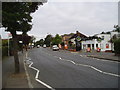
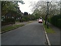
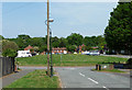
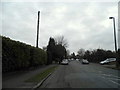
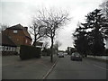
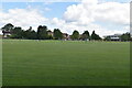

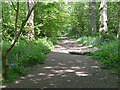
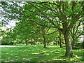
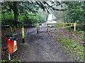
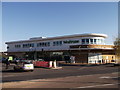
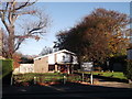
25 photos from this area
Area Information
Key information about the CR2 9EU including its size, population, and administrative classification.
- Area Type
- Postcode
- Area Size
- 7.8 hectares
- Population
- Not available
- Population Density
- Not available
House Prices in CR2 9EU
28
Properties
£394,854
Average Sold Price
£86,950
Lowest Price
£585,000
Highest Price
Showing 28 properties
| Address | Type | Beds | Baths | Last Sale Price | Last Sale Date | |
|---|---|---|---|---|---|---|
| 14 Wentworth Way, South Croydon, CR2 9EU | house | - | - | £585,000 | Apr 2024 | |
| 54 Wentworth Way, South Croydon, CR2 9EU | house | - | - | £555,000 | Nov 2023 | |
| 18 Wentworth Way, South Croydon, CR2 9EU | Semi-detached | 3 | 1 | £515,000 | Oct 2023 | |
| 32 Wentworth Way, South Croydon, CR2 9EU | house | - | - | £542,000 | Apr 2023 | |
| 24 Wentworth Way, South Croydon, CR2 9EU | house | - | - | £375,000 | May 2019 | |
| 50 Wentworth Way, South Croydon, CR2 9EU | house | - | - | £448,500 | Oct 2017 | |
| 2 Wentworth Way, South Croydon, CR2 9EU | Semi-detached | 3 | 1 | £490,000 | Sep 2017 | |
| 52 Wentworth Way, South Croydon, CR2 9EU | Semi-detached | 4 | - | £483,000 | Jan 2016 | |
| 6 Wentworth Way, South Croydon, CR2 9EU | house | 4 | - | £380,000 | Jul 2015 | |
| 28 Wentworth Way, South Croydon, CR2 9EU | Semi-detached | 3 | 1 | £300,000 | Feb 2014 |
Page 1 of 3
Energy Efficiency in CR2 9EU
Amenities
Schools
| Rank | School | Type | Entry gender | Ages |
|---|
Explore more schools in this area
Go to Schools tabDemographics
Household Size
Family (3-5 people)
most common
Accommodation Type
Houses
most common
Tenure
70
majority
Ethnic Group
White
most common
Religion
N/A
most common
Household Composition
N/A
most common
Age
47
median
Adults (30-64 years)
most common
Household Deprivation
N/A
with no deprivation
NS-SEC
34
in Lower managerial occupations
Explore more demographic insights in this area
Go to Demographics tabPlanning
Planning Constraints
- Flood RiskPremium
- Ramsar Wetland SitesPremium
- Area of Outstanding Natural BeautyPremium
- Protected Nature ReservePremium
- Protected WoodlandPremium