Area Overview for CR2 8TG
Photos of CR2 8TG
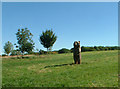
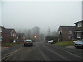
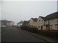
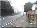
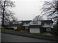
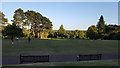
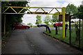
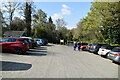
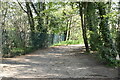
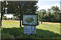
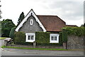
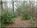
45 photos from this area
Area Information
Key information about the CR2 8TG including its size, population, and administrative classification.
- Area Type
- Postcode
- Area Size
- 3.7 hectares
- Population
- 1324
- Population Density
- 598 people/km²
House Prices in CR2 8TG
35
Properties
£511,800
Average Sold Price
£230,000
Lowest Price
£788,000
Highest Price
Showing 35 properties
| Address | Type | Beds | Baths | Last Sale Price | Last Sale Date | |
|---|---|---|---|---|---|---|
| 6 Abercorn Close, South Croydon, CR2 8TG | Detached | 4 | 3 | £735,000 | Mar 2025 | |
| 14 Abercorn Close, South Croydon, CR2 8TG | Detached | 4 | - | £758,000 | Jun 2021 | |
| 14A Abercorn Close, South Croydon, CR2 8TG | Detached | 4 | 3 | £620,000 | Mar 2020 | |
| 4 Abercorn Close, South Croydon, CR2 8TG | house | - | - | £675,000 | Jan 2020 | |
| 23 Abercorn Close, South Croydon, CR2 8TG | Detached | 5 | 2 | £788,000 | Jun 2018 | |
| 15 Abercorn Close, South Croydon, CR2 8TG | Detached | 5 | 1 | £730,000 | Oct 2017 | |
| 8 Abercorn Close, South Croydon, CR2 8TG | Detached | 4 | 2 | £617,500 | Aug 2015 | |
| 25 Abercorn Close, South Croydon, CR2 8TG | Detached | 5 | 3 | £549,000 | Oct 2013 | |
| 13 Abercorn Close, South Croydon, CR2 8TG | Detached | 5 | - | £545,000 | Sep 2013 | |
| 33 Abercorn Close, South Croydon, CR2 8TG | Detached | 5 | 2 | £490,000 | Jul 2013 |
Page 1 of 4
Energy Efficiency in CR2 8TG
Amenities
Schools
| Rank | School | Type | Entry gender | Ages |
|---|
Explore more schools in this area
Go to Schools tabDemographics
Household Size
Two person
most common
Accommodation Type
Houses
most common
Tenure
94
majority
Ethnic Group
White
most common
Religion
N/A
most common
Household Composition
N/A
most common
Age
47
median
Adults (30-64 years)
most common
Household Deprivation
N/A
with no deprivation
NS-SEC
48
in Lower managerial occupations
Explore more demographic insights in this area
Go to Demographics tabPlanning
Planning Constraints
- Flood RiskPremium
- Ramsar Wetland SitesPremium
- Area of Outstanding Natural BeautyPremium
- Protected Nature ReservePremium
- Protected WoodlandPremium