Area Overview for CR2 8RB
Photos of CR2 8RB
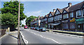

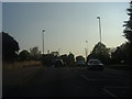
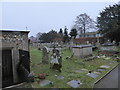
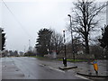
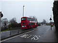
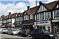
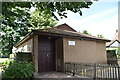
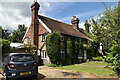

49 photos from this area
Area Information
Key information about the CR2 8RB including its size, population, and administrative classification.
- Area Type
- Postcode
- Area Size
- 21.9 hectares
- Population
- 1324
- Population Density
- 598 people/km²
House Prices in CR2 8RB
51
Properties
£590,138
Average Sold Price
£150,000
Lowest Price
£1,110,000
Highest Price
Showing 51 properties
| Address | Type | Beds | Baths | Last Sale Price | Last Sale Date | |
|---|---|---|---|---|---|---|
| 4 Addington Road, South Croydon, CR2 8RB | Semi-detached | 5 | 1 | £1,060,000 | Jul 2021 | |
| 2 Addington Road, South Croydon, CR2 8RB | Semi-detached | - | - | £1,110,000 | Jul 2021 | |
| 62 Addington Road, South Croydon, CR2 8RB | hospital_care_home | - | - | £709,125 | Mar 2021 | |
| 18 Addington Road, South Croydon, CR2 8RB | Semi-detached | 5 | 1 | £620,000 | Apr 2020 | |
| 14 Addington Road, South Croydon, CR2 8RB | Semi-detached | 5 | 1 | £675,000 | Jul 2019 | |
| 50 Addington Road, South Croydon, CR2 8RB | Semi-detached | 5 | 2 | £645,000 | May 2019 | |
| 54 Addington Road, South Croydon, CR2 8RB | house | - | - | £745,000 | Feb 2017 | |
| 46 Addington Road, South Croydon, CR2 8RB | Semi-detached | 5 | - | £647,500 | Dec 2015 | |
| 8 Addington Road, South Croydon, CR2 8RB | Semi-detached | 5 | - | £592,500 | Jan 2015 | |
| 6 Addington Road, South Croydon, CR2 8RB | Semi-detached | 5 | - | £657,000 | Dec 2014 |
Page 1 of 6
Energy Efficiency in CR2 8RB
Amenities
Schools
| Rank | School | Type | Entry gender | Ages |
|---|
Explore more schools in this area
Go to Schools tabDemographics
Household Size
Two person
most common
Accommodation Type
Houses
most common
Tenure
94
majority
Ethnic Group
White
most common
Religion
N/A
most common
Household Composition
N/A
most common
Age
47
median
Adults (30-64 years)
most common
Household Deprivation
N/A
with no deprivation
NS-SEC
48
in Lower managerial occupations
Explore more demographic insights in this area
Go to Demographics tabPlanning
Planning Constraints
- Flood RiskPremium
- Ramsar Wetland SitesPremium
- Area of Outstanding Natural BeautyPremium
- Protected Nature ReservePremium
- Protected WoodlandPremium